The Yarra River rises in the Great Dividing Range of south central Victoria, flowing west past the towns of Warburton and Warrandyte, until it cuts through Melbourne, where it empties into Hobsons Bay. The upper course contains scenic areas, with woodlands, dairy farms, and vineyards. The Upper Yarra Dam holds back a reservoir that supplies Melbourne with water. The river's lower reaches were formerly swampy, but they have been reclaimed and now contain Melbourne's docks and factories. The river's name is an Aboriginal word meaning "running water". 246 kilometers 153 miles
Yarra city council mayor Greg barber has urged planning Minister Mary Delahunty to introduce temporary planning controls among the Yarra River along with the mounting pressure of residential and commercial development. The council will vote next month on alteration to the local planning scheme aimed at protecting the river corridor and vegetation, particularly between bridge road and the eastern freeway.
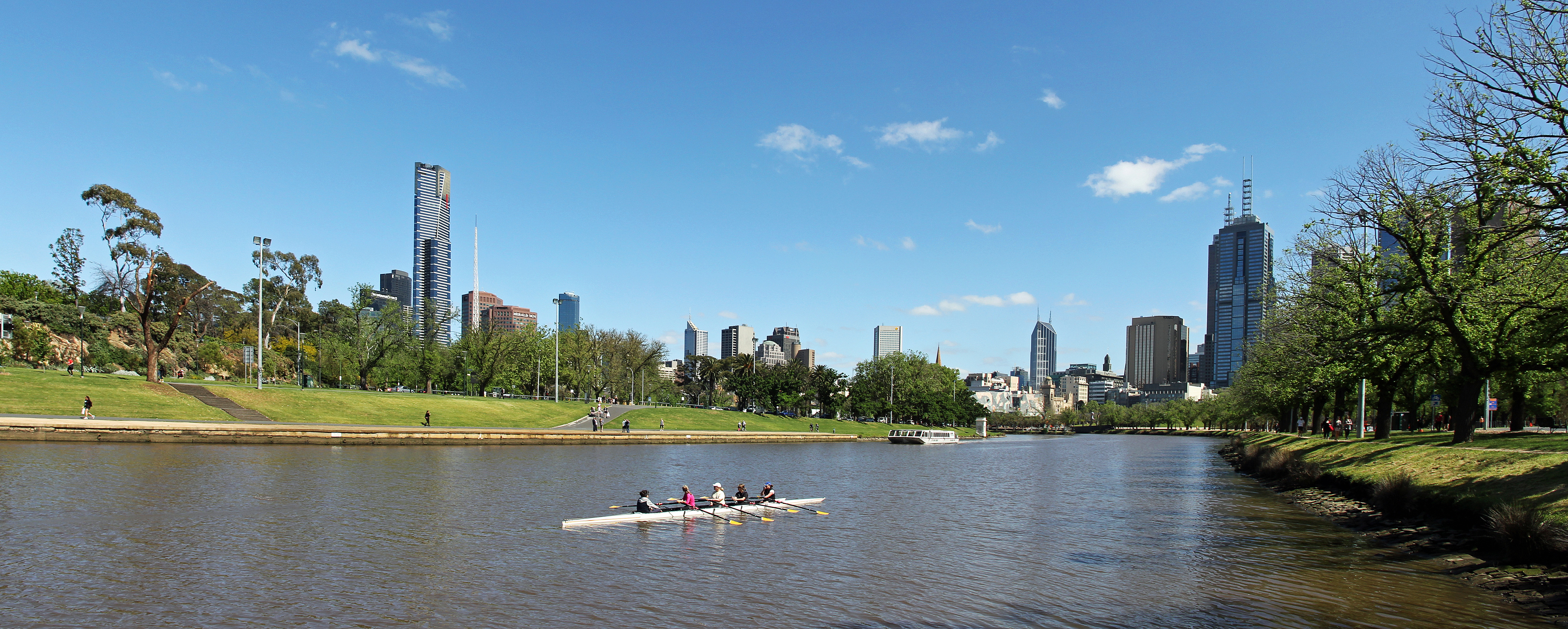 Yarra River & Melbourne City Skyline View at Alexa...
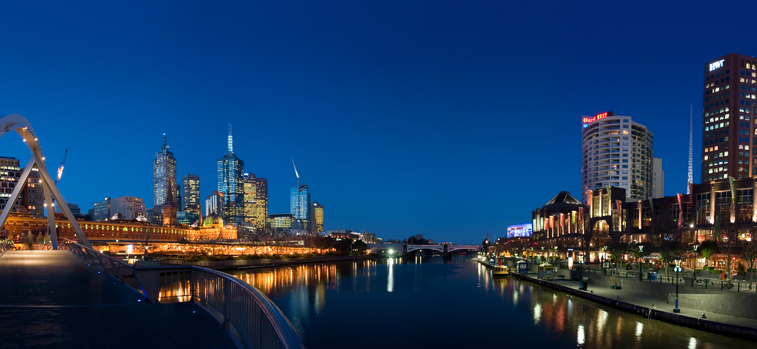 A view of the Yarra River at twilight, with Melbou...
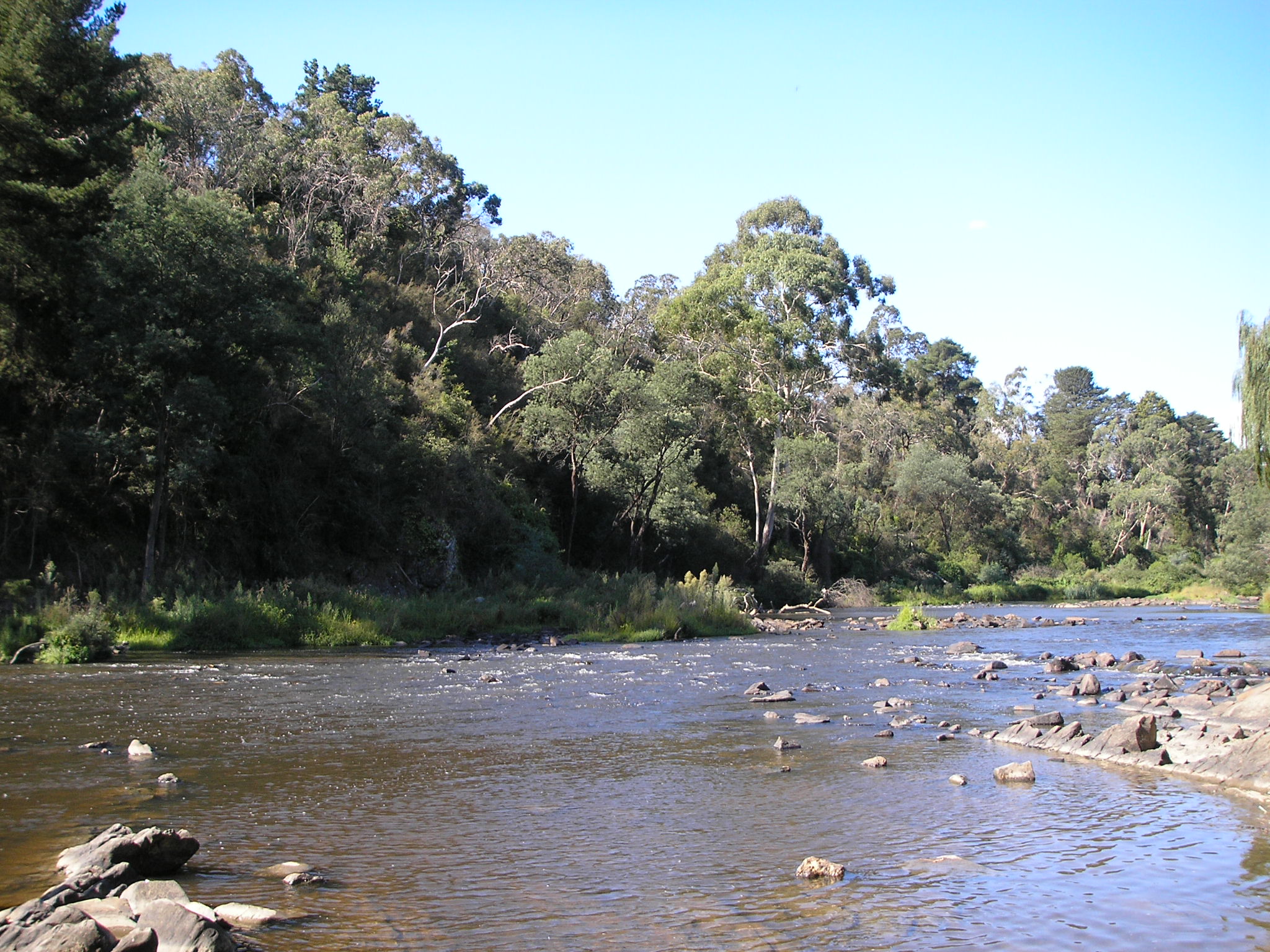 English: A typical riverside scene in Warrandyte. ...
In September 2002 a month before unveiling Melbourne 2030 - the state government's plan for sustainable metropolitan growth - Premier Steve Bracks was down by the Yarra to announce stronger controls that he said would safe guard the river. Little more than a year latter he said he had much better understanding of why the Yarra needed protection.
Since last year planning applications for sites along the Yarra particularly between bridge Road and the Eastern Freeway. They are among 45 sites large and small between Bridge Road and the Eastern Freeway, zoned for industrial or mixed commercial and residential use.
It's not a very wide river but the different shapes and the surrounding vegetation make it a landscape feature ... that's what we want to maintain. It's a race against time to get changes in place that will protect and enhance the landscape qualities of the river.
The proposed...