Dredging The Hudson River
For PCBs
Tens of thousands of years ago, glaciers carved out the Hudson River. It is an estuary, " An estuary is a semi-enclosed coastal body of water with a free connection to the open sea and within which sea water is diluted by fresh water"(life.bio.sunysb.edu).
The Hudson River begins in Lake Tear of the Clouds on the southwest side of Mount Marcy, the highest peak in New York, and is 315 miles long. At its deepest point, World's End near West Point, it is 216 feet deep. At its widest point, Haverstraw, it is three and a half miles wide. "From Troy south to the river's mouth in New York harbor, the Hudson takes on the properties of the ocean as well as a river. As the tide rises in the Atlantic, salt water is pushed upriver" (hhr.highlands.com). During the dry season the salt water travels only as far as Newburgh, but during the rainy season it travels as far down river as Tappan Zee.
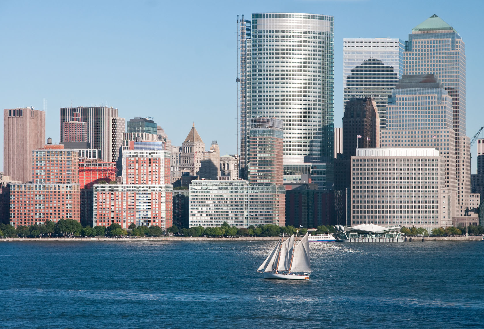 Hudson river sailboat
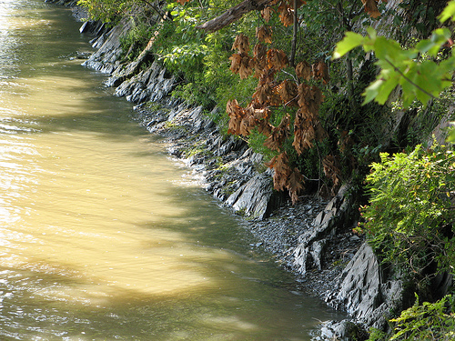 Hudson River shore
 Hudson River
The reason for this is that the runoff of fresh water pushes the salt water downstream. All though the entire river doesn't contain ocean water, it is affected by tides, the largest tide change occurs at Troy, 4.7 feet, and the lowest change is at West point, only a 2.7 foot rise.
It has a rich history, the earliest sign of human contact with the river comes form the New York State Archeological Association, which found evidence of man mining flint stones. Much of the evidence found in the area suggests that it might have served as hunting grounds during the inter-glacial periods. However, all the records and evidence is very sketchy. Recorded history of the area began in 1300 AD, many of the records are considered to be legends,