Speaking about any country you should know by all means some information about its geographical location, economy and climate. In this case, since we study the English language we should know about the country as much as possible.
The British Isles lie off the north-west coast of continental Europe. They are made up of Great Britain (England, Scotland and Wales; and Ireland (Northern Ireland and the Independent Irish Republic) and some 5,500 smaller islands. The total area of the British Isles is 121,000 square miles (320,000 square kilometers). The British Isles are surrounded by seas on all sides and are separated from the continent by the North Sea and the English Channel.
I think their strategic position facing both the Old World and the New was a very important factor in the early development of Britain with an economy based on world trade.
Geographically, the island of Great Britain is subdivided into two main regions - Lowland Britain and Highland Britain.
![[Edinburgh from the castle, Scotland] (LOC)](/uploads/11/117998/edinburgh-castle-scotland-loc.jpg) [Edinburgh from the castle, Scotland] (LOC)
[Edinburgh from the castle, Scotland] (LOC)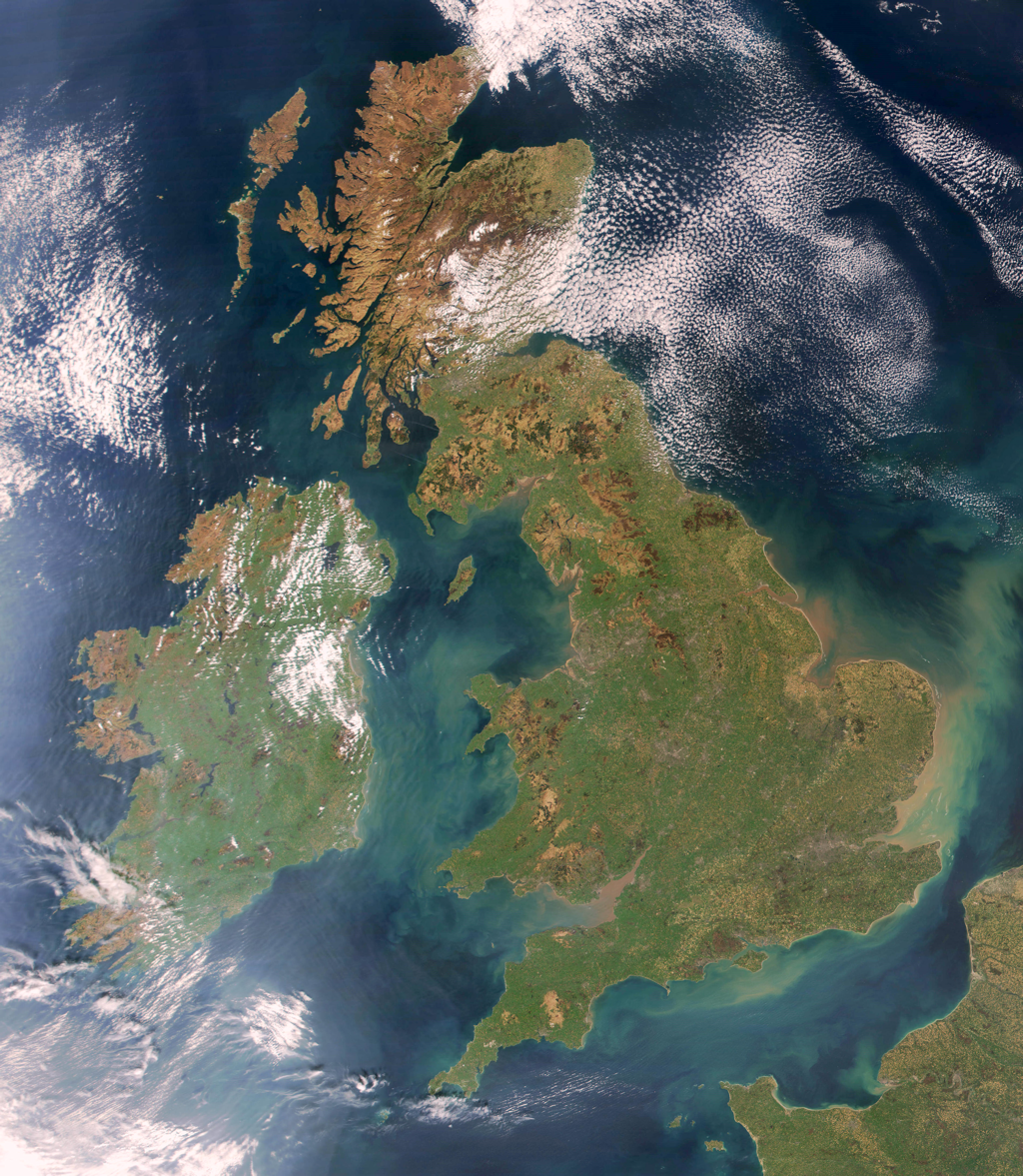 Satellite photo: Ireland is the island on the left...
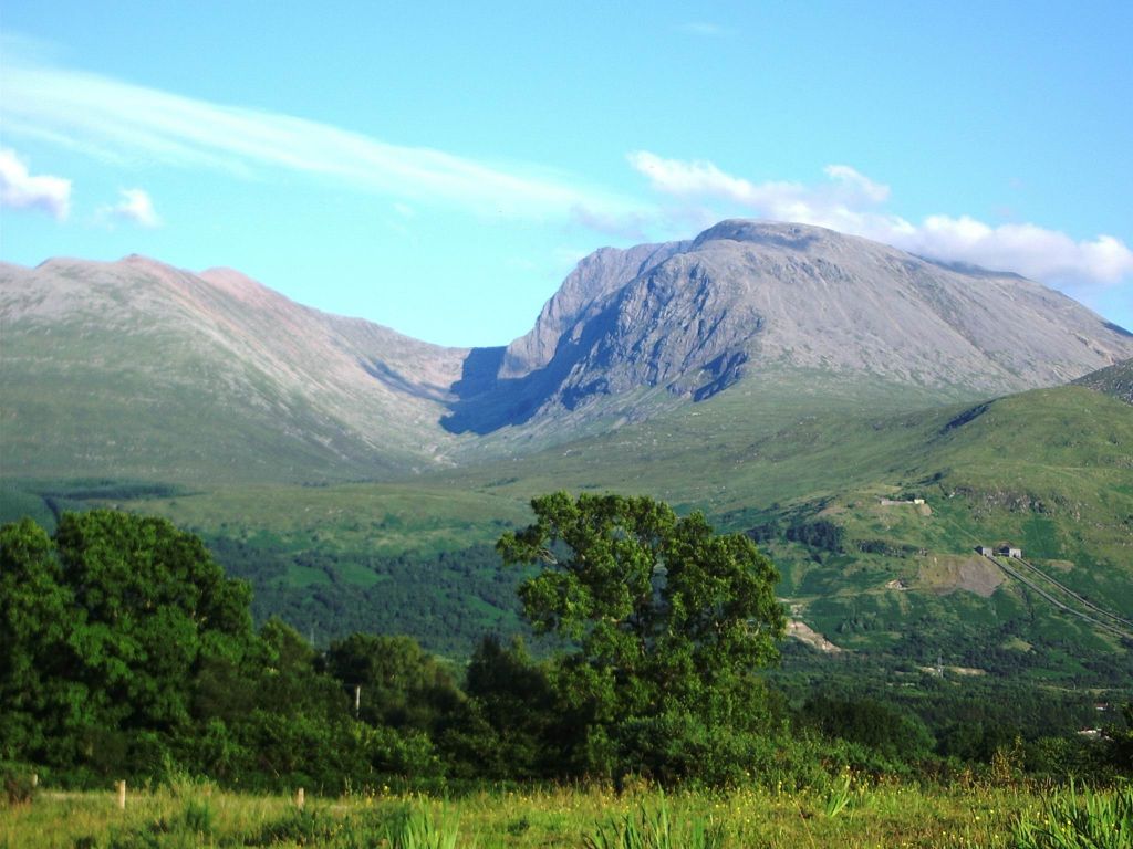 Ben Nevis, in Scotland, is the highest point in th...
Lowland Britain comprises southern and eastern England. Highland Britain consists of Scotland, most of Wales, the Pennines, and the Lake District. The Pennine Chain extends southward from the Cheviot Hills into the Midlands, a plains region with low hills and valleys. England is separated from Scotland by the Cheviot Hills, running from east to west.
The highest mountains are in Scotland and Wales: Ben Nevis is 1,343 metres and Snowdon is 1,085 meters.
There are many rivers in Britain, but they are rather short. The longest rivers are the Severn (354 kilometers), flowing along the border between England and Wales, tributaries of which include the Avon, famed by Shakespeare, and the river Thames (346 kilometers), which flows eastward to the port of London. . Scotland's longest river is the Glide and Ireland's the Shannon. The largest lake is Lough...