GIS in Fighting Wildfires Recently there has been an onslaught of wildfires throughout southern California, New Mexico and Florida. GIS and the USGS have come to the aid of firefighters fighting these wildfires. New digital maps that are the combination of aerial photographs and the geometric qualities of a map were used in the recent New Mexico wildfires. These maps DOQ's (Digital Orthophotoquads) which are aerial photographs are supplied by the US Geological Survey in Menlo Park California. DOQ images can also be found on the Microsoft TerraServer site at http://terraserver.microsoft.com/default.asp These maps allowed firefighters to have a more accurate picture of the terrain where a fire is burning and where it might spread. On DOQ's trees look like trees rather then a green shaded area on a topographic map. Buildings are more visible and there shape and possible use can possibly be determined. Because these maps were in high demand during the wildfire, these maps were delivered electronically, downloaded and printed by the recipient, thus speeding up the process of determining a way to get these fires out.
 Smokey the Bear
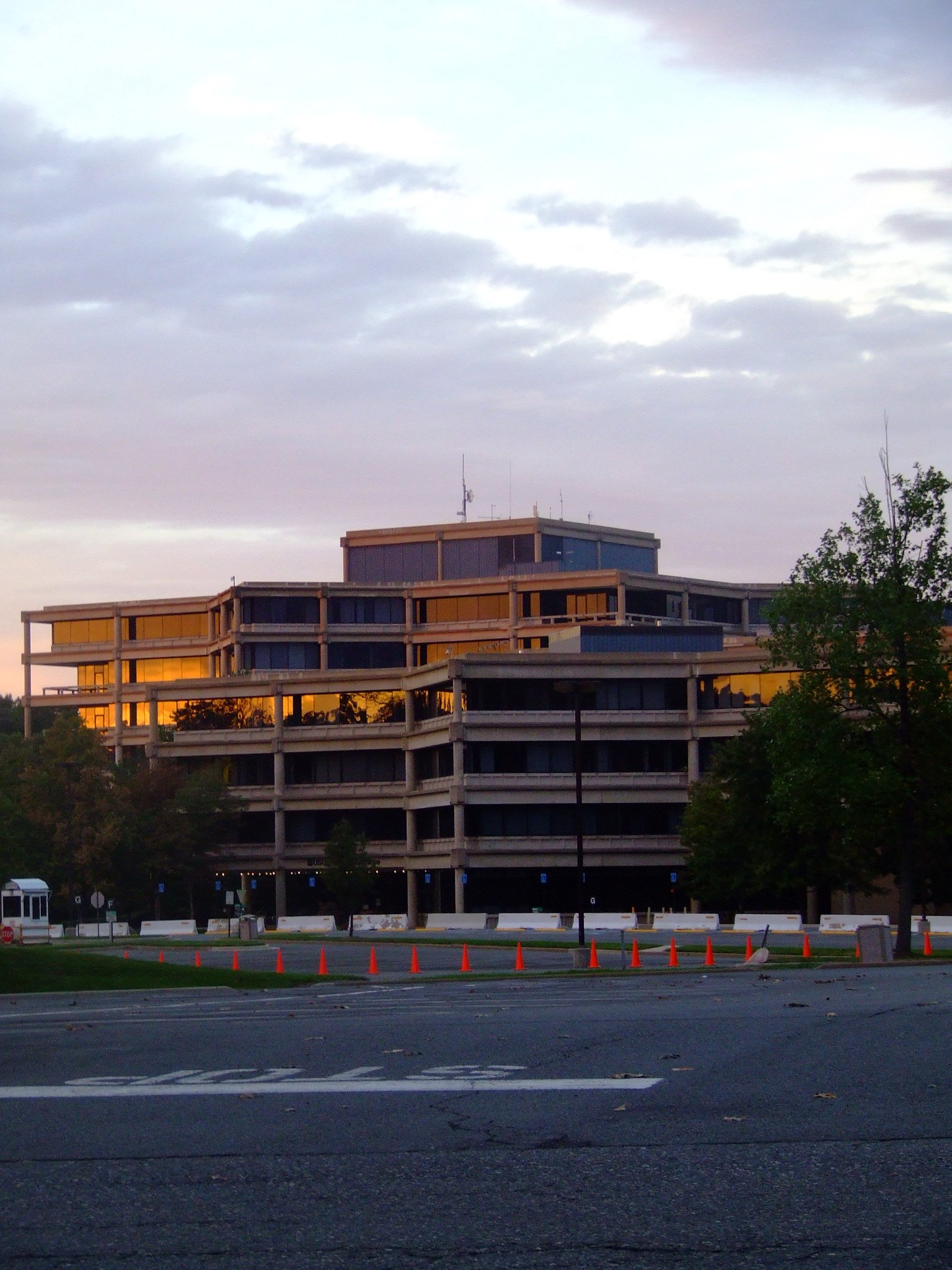 The headquarters of the United States Geological S...
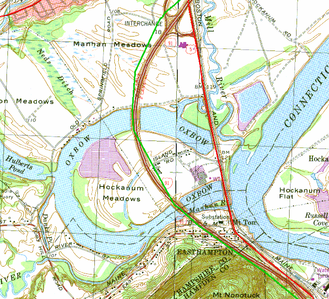 Topographic map of the Oxbow
This is in sharp contrast to a time when topographical maps had to be updated by hand scribers and printed on special presses.
USGS began producing these maps in 1991. Images are derived from the archives of the National Aerial Photography Program (which is housed in Sioux Falls, S.D.). Today nearly 165,000 DOQ's available in the U.S. Because DOQ's can serve as a layer in a GIS system, they are especially useful for community and special event planners. Ex.. They were used in Atlanta for the 1998 summer Olympics and are being used to create maps for the 2002 Salt Lake City Winter Olympics to layout event sites and plan transportation corridors.
With USGS's DOQ's New Mexico was able to contain...