The GIS and Australian Agriculture Geographic information systems are a combination of global positioning systems, which give longitude, latitude and elevation, satellite imagery, aerial photography, existing maps, land data and computer systems. All this information is combined to form the GIS. The result is stored computer information containing data about the Earth's surface that can be printed out or viewed directly from the computer. A possible disadvantage with the input of data by digitising paper maps or satellite imagery is that the data may not be accurate, so care should be taken with data reliability.
GIS technology integrates common database operations such as query and statistical analysis with the unique visualization and geographic analysis benefits offered by maps. GIS has benefits not only in storage and display of data, but also in the ability to bring together environmental data sets collected by different methods, and to integrate them together for improved data extraction and management.
 Geographic Information System Day at USACE Pacific...
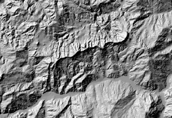 A digital elevation model (DEM) from which a water...
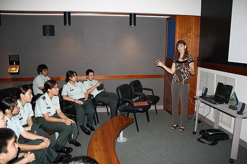 JROTC cadets attend UACE Geographic Information Sy...
GIS displays can be integrated with reports, three-dimensional views, photographic images, and other output such as multimedia. It gives the power to visualize scenarios, solve complicated problems, present powerful ideas, and develop effective solutions like never before. These abilities distinguish GIS from other information systems and make it valuable to a wide range of public and private enterprises for explaining events, predicting outcomes, and planning strategies.
The ability to bring together the results of conventional field mapping, satellite based interpretations of geographical structure, multi-sourced geophysical data and the results of regional surveys, and then to vary the weighting given to the different parameters can provide a unique insight into, for example, the location of areas that may potentially be affected by salinity. The addition of topography, together with factors such as basic hydrological and climatic information, population distribution, ecological factors, and land use takes...