This paper will consider three very important components of development while examining the Ivory Coast. The first of the three components will describe the current agricultural system in the Ivory Coast. The second component of the research will identify various natural resource challenges faced in the Ivory Coast. The third component of the paper will be made up of economic factors effecting the Ivory Coast.
The final part of the paper will discuss the major developmental problems as well as suggestions for sustainable development.
The topography of the Ivory Coast is split into three core areas. The coastal strip on the Gulf of Guinea makes up the countries' 515-kilometer southern border.
Approximately 140,000 square kilometers of dense forests make up the southern interior of the country. About 180,000 square kilometers of dry savannas are located to the north, where economic growth is slower. Vegetation gradually decreases as you travel from south to north in this country.
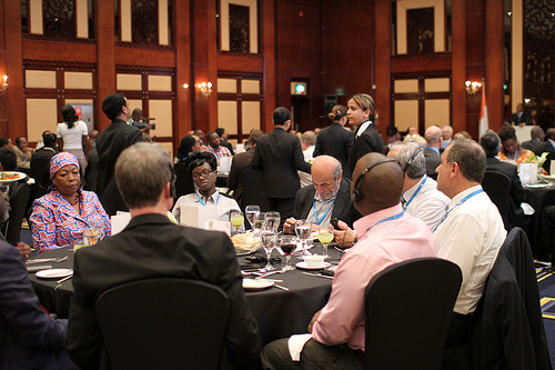 Lunch with the Ivory Coast Telecommunications Agen...
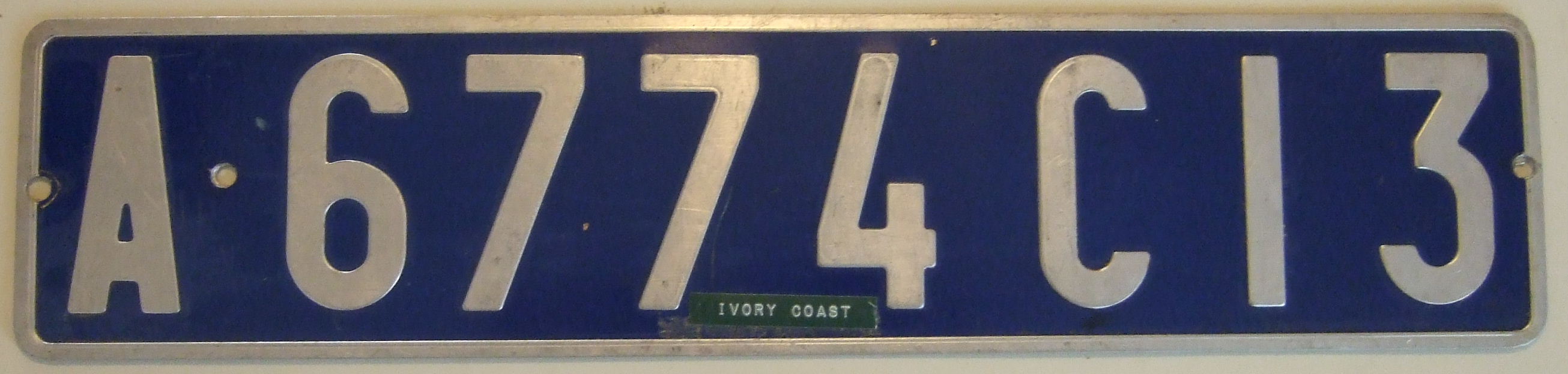 Silver on reflective blue Abidjan, Ivory Coast lic...
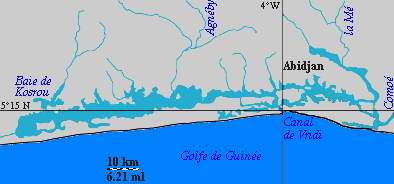 English: Ébrié Lagoon, with Abidjan, of the Ivor...
The Ivory Coast's climate consists of warm, humid weather changing from equatorial to tropical. Heavy rains fall between June and October in the northern region of the country. Along the southern equatorial coast, rains periodically throughout the year, but is heaviest between May and September, with the annual rainfall reaching two hundred centimeters. Although the Ivory Coast experiences some rainfall in almost every month, they encounter an annual dry season from December to April.
These topographic features are a major contributor to the impact agriculture has on the economy and society as a whole. More then thirty percent of the population is involved in subsistence farming, and more than sixty percent of the land area is used in agriculture. This includes both cash cropping on small plots of land and on large plantations. The Ivory Coast's number one cash crop...