LITHGOW
Settled in the Farmers Creek Valley on the Eastern side of the Great Dividing Range in Eastern Australia Farmers Creek drains into the Coxes river which in turn drains into Warragamba dam and the Nepean and the Hawkesbury system. Surrounding Lithgow is a sandstone plateau with other eroded valleys and sheer cliffs. Beneath the layers of sandstone are coal seams which have provided energy for the industrial base of Lithgow.
Lithgow has a cool mountain temperature climate with temperatures of 25 degrees Celsius in Summer and 12 degrees Celsius in Winter. The annual rainfall is 863 millimetres falling on 123 days of the year. Occasionally in Lithgow it snows.
Being surrounded by natural bushland and National parks Lithgow is plentiful in flora and fauna. Such fauna as wallabies, Kangaroos, wombats, a variety of native birds including the Gang Gang Cockatoos (a very rare species) and talk at the Bloodbath (the local pub) was of a bush yeti.
![Industrious Lithgow [float] from Sesquicentenary Manufacturers' Parade, Sydney, 1938](/uploads/3/35335/industrious-lithgow-float-sesquicentenary-manufacturers-para.jpg) Industrious Lithgow [float] from Sesquicentenary ...
Industrious Lithgow [float] from Sesquicentenary ...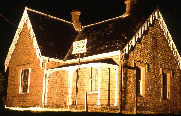 home, lithgow, australia
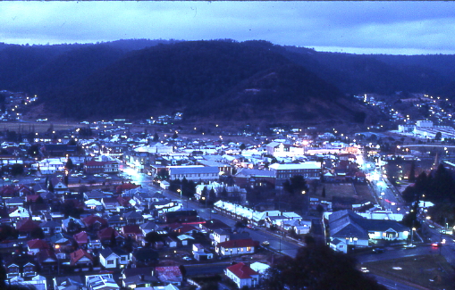 English: Lithgow photo by Sardaka (talk) 08:49, 26...
Land use around Lithgow is mainly used for national parks and forest plantations. To the west of Lithgow on the western side of the great dividing range are rich in grazing lands for sheep and cattle. Lithgow is also predominantly a industrial town.
Industries supported by Lithgow include railways, coal mining, electricity generation, light manufacturing, Tourism (zigzag railway and Jenolan caves) and correctional services. Also timber harvesting is a major industry in Lithgow.
Lithgow's council population of 21,000 has been stable for a number of years but Lithgow's town is at a population of approximately 14 500 and is expected to grow as Sydney expands westward.
Problems/ current issues
"Y Bush fires
"Y Employment in traditional industries (such as mining)
"Y Keeping up tourism.
"Y Maintaining services such as health and education