Nicaragua
The area of Nicaragua is 50,193 sq. mi. The Nicaraguan highlands, with a elevation about 2000 ft, cross Nicaragua from the northwest to the southeast. Several mountain ranges, the highest of which, the Cordillera Isabelia, reaches an elevation of more than 6890 ft, cut the highlands from east to west. In the west is a great basin, or depression, containing two lakes, Nicaragua, the largest in Central America, and Managua. The two are connected by the Tipitapa River. A chain of volcanoes, which are a contributory cause of local earthquakes, rises between the lakes and the Pacific coast. In the east, the Caribbean coastal plain known as the Costa de mosquitoes (Mosquito Coast) extends some 45 mi. inland and is partly overgrown with rain forest. The four principal rivers, the San Juan, Coco (Wanks), Grande, and Escondido, empty into the Caribbean.
The natural resources of Nicaragua are primarily agricultural.
 Anastasio Somoza García and his sons Luis Somoza ...
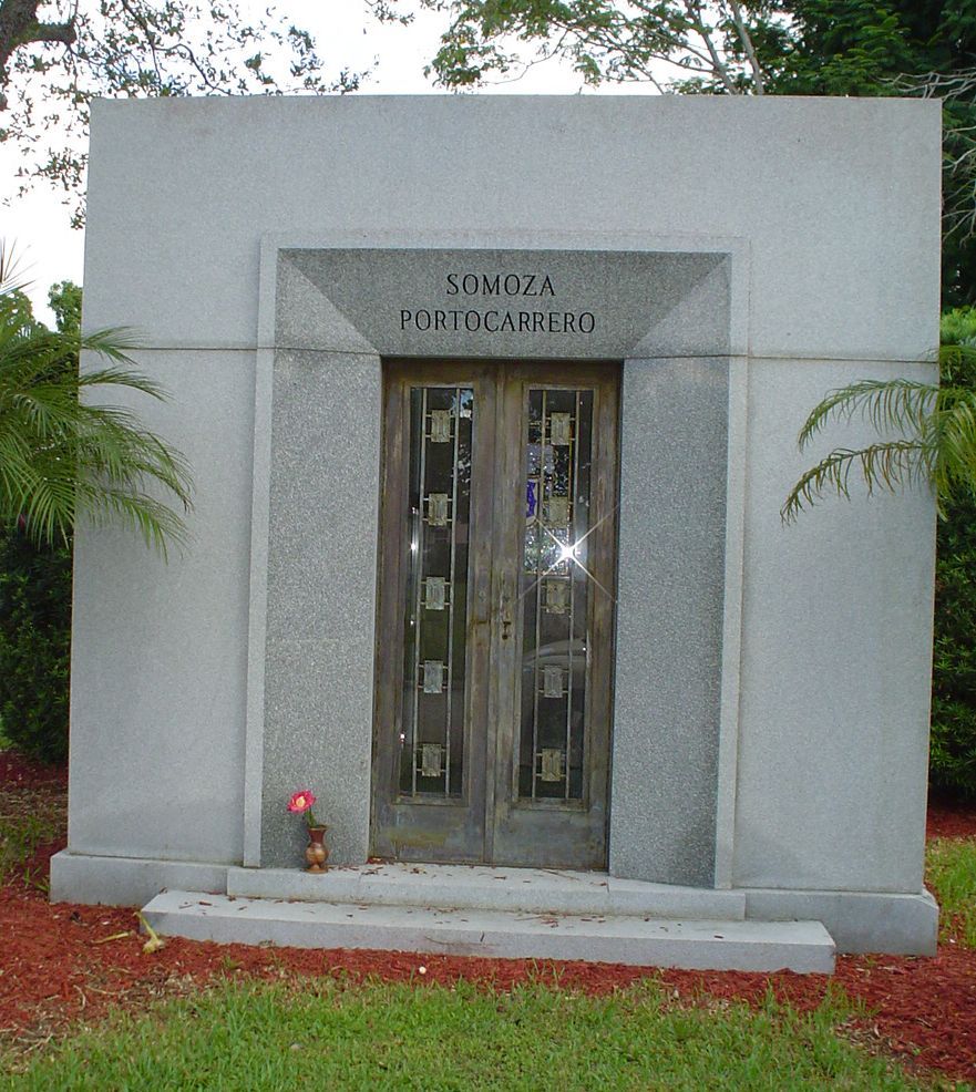 Somoza family mausoleum.
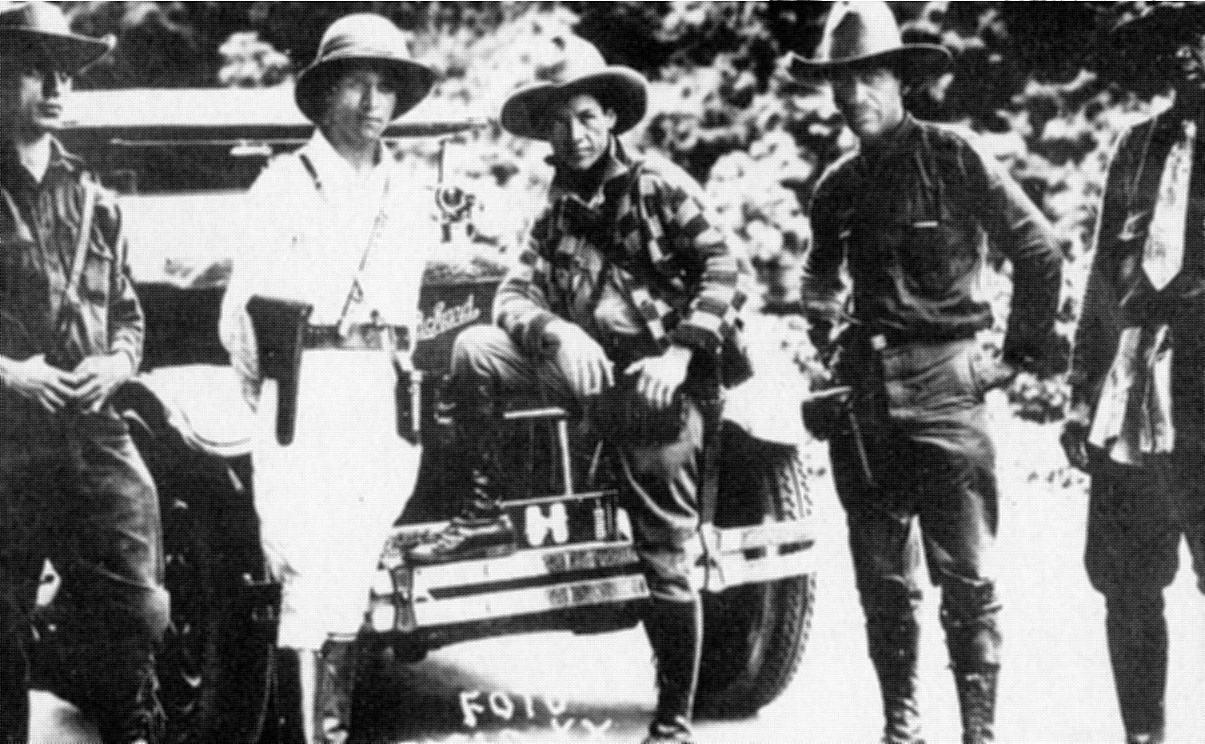 Sandino (center) en route to Mexico
Deposits of volcanic material have enriched the soil, which is extremely fertile. About half the land is covered with forests. The country has some deposits of gold, silver, and copper.
About 77% of the Nicaraguan population is mestizo (people of mixed white and Native American descent), about 10% is white, and the remainder is Native American (4%) and black (9%). The population of Nicaragua is 3,745,000, yielding an overall density about 75 per sq. mi. Approximately 60% of the population is concentrated in the western part of the country, and more than 55% is urban.
Political Divisions and Principal Cities
Nicaragua is divided into six regions and three special zones. Managua, with a population of 682,100, is the capital and commercial center. León is an important religious and cultural center. Granada is the terminus of the railway from the main port of entry, Corinto, on the Pacific coast.
Spanish is...