Introduction Popocate'petl is a volcano found in Mexico that I have been following for 3 months. It is the result of a continental-oceanic plate convergence (fig. 1). When the oceanic lithosphere (the Rivera and Cocos plates) collide with the continental lithosphere (the North American plate), the oceanic plate will descend into the subduction zone. Subduction zones generate a lot of igneous magma that rises to the surface to form volcanic mountains. I will discuss the geologic history of Popocate'petl, the subduction of the Cocos and Rivera plates, and the most current eruptions of Popocate'petl.
Fig. 1. Oceanic-continental convergence (from Pidwirny, 2001) Popocate'petl is a 5,465-meter andesitic stratovolcano that is located 19.02 degrees north and 98.62 degrees west. It is approximately 55 km east of Mexico City and 45 km east of Puebla (Fig. 2).
Fig. 2. Major Volcanoes of Mexico (from USGS/CVO, 1998) The volcano covers 500 square kilometers and has a 900-meter crater that is 200 meters deep.
 Socorro and Bárcena on San Benedicto are indicate...
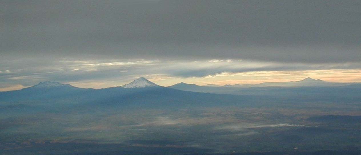 Six Mexican Volcanoes LR Ixtaccíhuatl, Popocatép...
 English: The Central Library of the National Auton...
Popocate'petl means "Smoking Mountain," in the Aztec language of Nahuatl (Dunlap, 1996). It is the second highest peak in Mexico and is one of the country's most volatile volcanoes (Dunlap, 1996). It has had approximately 30 eruptions in historical time, mostly mild to moderate Vulcanian eruptions. Popocate'petl has also produced several Plinian type eruptions, and there are records of at least three enormous ones in the past 5,000 years (Ray, 2001).
Subduction of Cocos & Rivera Plates Popocate'petl is part of the Trans-Mexico Volcano Belt (TMVB) (fig. 3). "Volcanic activity related to the Trans-Mexican Volcanic Belt started during Early stratovolcano Miocene" (Capral, L. et al., 2000). "The TMVB is 1200 kilometers long and goes from the Gulf of California all the way through Central Mexico and meets the Central American Volcano belt near El Chichon, a volcano in Chiapas, Mexico" (Johnson, 1991). This line of volcanoes is caused by the subduction of the Cocos and Rivera plates beneath the North American plate. These two plates "spread away" from the East Pacific Rise, and are separated from each other by a transform fault known as the Rivera fracture zone (Johnson, 1991). This fracture zone results from the different rates of motion of the two plates-6 cm per year for the Cocos plate and 1 cm per year for the Rivera plate (Johnson, 1991).
Fig. 3. A very generalized map of central Mexico showing the Trans Mexican Volcanic Belt, the Michoacán-Guanajuato Volcanic Field, the Chichinautzin Formation and various volcanoes located in the Trans-Mexico Volcano Belt (from Newton, 1998) The volcanoes in the Popocate'petl area are the nearest of all the volcanoes to the Middle American Trench. The Middle American Trench occurs where the Coccos and the Rivera plates are subducting. The reason the distance from the trench to the volcanoes in chain (the arc trench gap) varies so much (from 80 to 400 km), is due to the fact that the "depth and inclination of the subduction zone varies" (Johnson, 1991). Popocate'petl is in the middle of the TMVB implying that the crust dips approximately "15 degrees" at that point (Flueh et al., 1996). "Near the trench [the Coccos and Rivera plates dip] with 5 degrees, 60 km landward the dip is 15 degrees and 100 km from the trench it reaches 23 degrees (Flueh et al., 1996)." Geological History Little is known about the early geologic history of Popo. The oldest rocks found so far at Popo have not been dated, but they are stratigraphically younger than rocks from Iztaccihuatl volcano, immediately to the north. "This suggests that the locus of magma production has migrated southwards during the course of time" (Rogers, 1995). Popo's present cone is not the first huge volcanic structure that evolved at this site, as evidenced by at least three debris avalanche deposits that fan out towards the south, from the same site of origin (Siebe et al., 1995). "The present cone consists of interlayered andesitic to dacitic lavas and pyroclastics, that frequently contain phenocrysts of plagioclase, hyperthene, augite and olivine in a microlithic to glassy groundmass" (Rogers, 1995). This combination of minerals suggests that these are igneous rocks. At its top is a large 250-meter deep crater with vertical walls, which seem to have changed little in the last hundred years (Rogers). Popocate'petl was heavily glaciated in the ice ages, which has left behind prominent moraines.
At least seven major Plinian eruptions have occurred over the past 20,000 years, with pumice-falls and ash-flows traceable up to 60 km away (Siebe et al., 1995). In the last five hundred years, Popo has erupted several times with the release of energy producing a small ash plume (fig. 4). These events can last for a few years. The last sequence of eruptions began early on December 21, 1994.
Fig. 4. Popocate'petl Volcanic Ash Plume (from CIMSS, 1997) Present Eruptions On December 21, 1994, the initial "vent-clearing eruptions" started around 1:30 a.m. and sent ash into the skies above Mexico City and Puebla-both within a 50-mile radius of the cone (Dunlap, 1996). More that 8,000 tons of ash fell over the Puebla Valley, which caused the evacuation of 19 villages (50,000 people) east of Popo. The only reported deaths were those of five mountaineers, whose bodies were found with third degree burns near the crater. Climbing has since been restricted. The volcano has since then been put under close "observation by the National Autonomous University of Mexico (UNAM), the Institute of Geophysics and Seismology, and the United States Geologic Survey (USGS) Volcano Disaster Assistance Program" (Dunlap, 1996). Low-level activity persisted through 1995.
Over the first five months after the initial eruption, Popocate'petl was almost constantly puffing out ash, forming "cauliflower-shaped clouds that reached up to 3,500 meters above the crater" (Ray, 2001). The eruptions had subsided and had almost stopped by November, 1995.
On March 5, 1996, ash emissions resumed with renewed intensity. By March 29, a new lava dome appeared in the crater. Within one month the lava had covered the entire crater floor to a thickness of at least 50 meters (Siebe et al., 1994). On April 30, a small Vulcanian explosion from the dome blasted meter-sized boulders from the crater killing a few men. Since then, a total of 9 domes have formed in the crater (Siebe et al., 1994).
The June 30, 1997 eruption is the largest recorded in the current episode initiated in 1994. "According to the real time seismic amplitude measurement recordings, RSAM, this event alone released an energy estimated one-tenth of the yearly average of seismic energy release. The highest intensity phase lasted about 35 minutes and then declined" (Renya, 1996).
On December 24, 1997, Popocate'petl erupted, briefly spewing black smoke four miles (7 km) high and sending an explosive blast of glowing rock into the air (Quass-Weppen, 1997). The explosion was relatively intense, but short.
In April of 1998 "a large exhalation was recorded at 12:57:03" (Reyna et al., 2001). It lasted three minutes and produced a small ash emission. On April 27 at 10:31:49, another explosive exhalation occurred. The most intense phase lasted three minutes and was followed by high-frequency tremors that lasted an additional five minutes. It produced a 4 km high as column over the summit (Reyna et al., 2001).
During January 18-29 of 1999 there were intermittent gas and ash plumes (Reyna et al., 2001). During February and March of 1999, there were intermittent explosions and ash clouds (Reyna et al., 2001). In April, there were continued sporadic eruptions that were visible on Doppler radar (Reyna et al., 2001). In May of 1999, there were rockfalls, good seismic activity, and gas and ash ejections (Reyna et al., 2001).
Popocate'petl exploded on December 18, 2000 in its most powerful eruption in at least 400 years (Fig. 5 & 6). "A red plume continued to spew from the mountain's peak for days (Airwise, 2001). A week previous, "minor eruptions began shaking the mountain" (Airwise, 2001). This produced clouds of ash that reached areas 40 miles away. " ' We don't have any records of [a stratovolcano] with this level of activity . There are some reports from the 16th or 17th centuries, but not on this scale. It's possibly more than 500 years' since the volcano was so active, said Servando de la Cruz," of Mexico's Geophysical Institute (Airwise, 2001).
Fig. 5. Popocate'petl erupts on December 18, 2000 Fig. 6. Popocate'petl continues to spew gas and as on December 22, 2000 (from REUTERS/Henry Romero, 2000) From January 26, to February 2001, there were in increased number of exhalations (fig 7) and new dome growth by the end of February (Reyna et al., 2001). On February 25, 2001, "observers on a helicopter flight looking into the summit crater confirmed the presence of a small blocky lave dome" (Reyna et al., 2001).
Fig. 7. Popocate'petl erupts on January 1, 2001 (from REUTERS/Henry Romero) "On October 25, 2001 at approximately 0600, a steam column was observed rising 1-2.5 km above Popo's crater, drifting to the north west" (USGS, 2001).
Popocate'petl has continued to exhaust ash and gas until the present. "Geophysicists continue to interpret seismic patterns and the National Disaster Prevention Center of Mexico (CENAPRED) maintains alertness in the prevention of future catastrophic episodes. Currently Popocatepetl is scheduled among the most threatening volcanoes in the world" (Dunlap, 1996).
Work Cited Airwise News. 2001. Mexican Volcano Sets Record. 24 October 2001. Capral, L. et al., 2000. The Zita'cuaro Volcanic Complex, Michoaca'n, Mexico: Magmatic and Eruptive History of To Resurgent Boiler. 20 November 2001. < http://www.igeofcu.unam.mx> Decker, Robert and Barbara. 1982. Volcanoes and the Earth's Interior. The Subduction of the Lithosphere. Ed. N. Nafi Toksoz. San Francisco: W.H. Freeman. 6-16.
DeMets, C. et al. 1996. Anticipating the Successor to Mexico's Largest Historical Earthquake. 30 October 2001. Dunlap, Luke. 1996. Popocate'petl Volcano Mexico. 24 October 2001. Flueh, E. R. et al., 1996. From Cocos to Caribbean Plate - Geophysical investigations at the Pacific Coast of Nicaragua. 21 November 2001. Johnson, Kristen. 1991. Plate Tectonics of Region. 30 October 2001. Melson, William Dr. 1982. Planet Earth Volcano. Inside the Inferno: How Volcanoes Work. Ed. Henry Anatole Gunwald. Alexandria, Virginia: Time-Life Books. 62-90.
McConnell, David. 3 January 1998. Plate Boundaries. 30 October 2001. http://lists.uakron.edu Newton, Anthony, 1998. A Tephrochronological Database. 20 November 2001. Pidwirny, Michael J. 2001. Fundamentals of Physical Geology. 23 October 2001.
Pfeiffer, Tom. 2001. Popocate'petl Volcano, Mexico. 24 October 2001. Quaar-Weppen, Roberto. 1997. Mexican Volcano Explodes, Spews Lava and Smoke. 2 November 2001. Reyna, Servando de la Cruz. 1997. Urban Security: Mexico City Study. 2 November 2001. Ray, Lilly. 2001. Viviendo Con El Volcan-Popocate'petl. 24 October 2001. Rogers, N. 1995. Quarternary Explosive Volcanism and Pyroclastic Deposits in East Central Mexico: Implications for Future Hazards. 30 October 2001. Siebe et al. 1994. Short-term Potential Volcanic Hazards at Popocate'petl, Mexico. 31 October 2001. USGS/CVO. 1998. Major Volcanoes Of Mexico. 24 October 2001. USGS/CVO. 2001. Weekly Volcanic Activity Report-Popocate'petl. 2 November 2001.
 English: The Rectorate Tower of the National Auton...
 English: Entrance to the Tlahuizcalpan building of...
 A bicycle jail at the Faculty of Philosophy and Le...