The majority of us have experienced the affects of anxiety. The anxiety of being literally lost in the crowd or being unable to find your destination despite careful route planning. Thanks to developments in technology, devices have been invented to aid our memory deficiencies as well as our desire to pinpoint specific locations. The global positioning system also known as the GPS, is one of these devices that help us find our way. With the full GPS being completed in 1993, its beginning uses were intended solely for military purposes (Beyond Discovery). Since then, this technological marvel has been made available to the masses for everyday usage or for travelling around the world. GPSs have also been portrayed in various media such as playing prominent roles in movies and television that showcase its capabilities and its possibilities.
The Components of the Global Positioning System:The GPS, which is the only fully functioning Global Navigation Satellite System, is a constellation of twenty-nine earth orbiting satellites that are powered by solar energy, travelling at an altitude of 11,000 miles and circling the earth twice a day (Wikipedia).
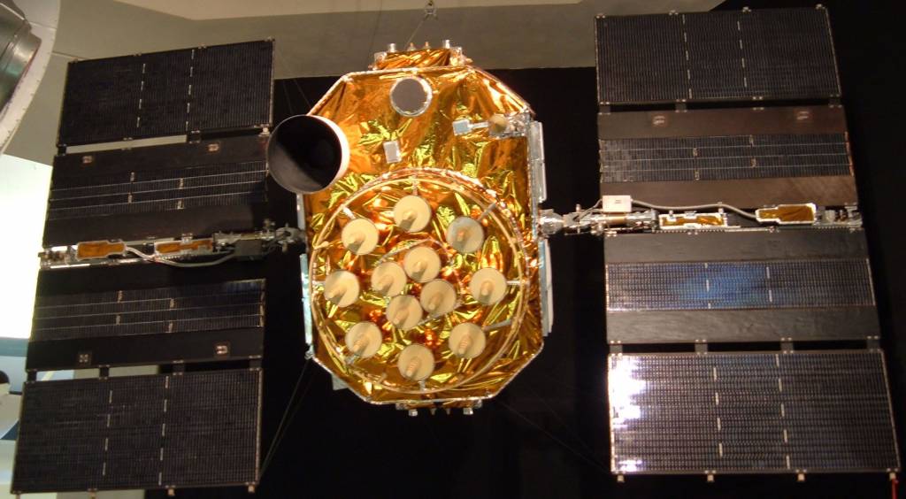 The only GPS satellite on public display is at the...
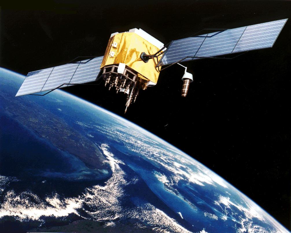 Artist Interpretation of GPS satellite, image cour...
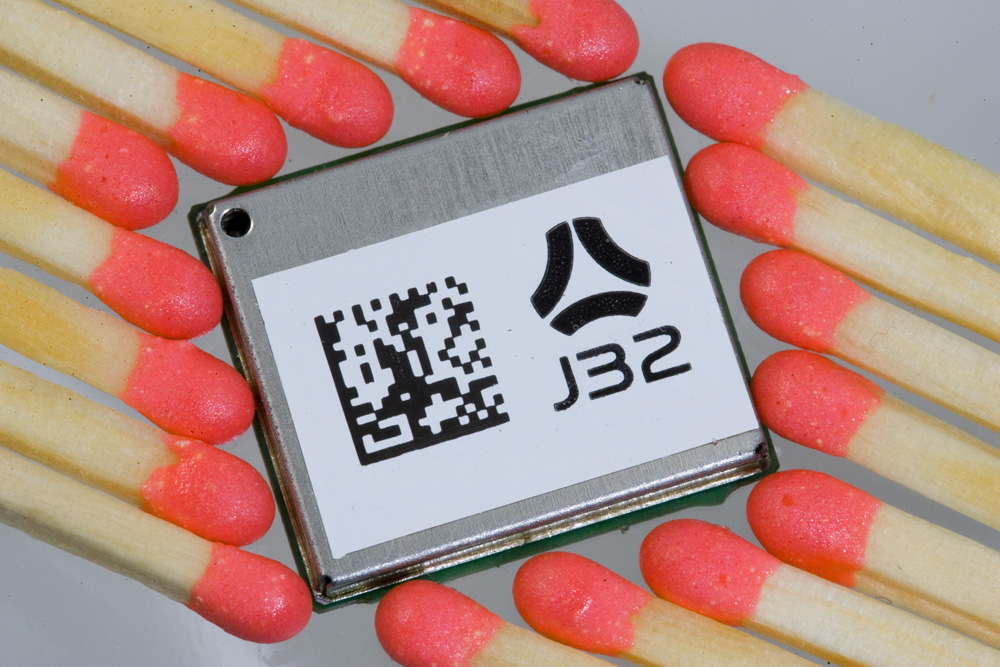 Photographed by myself
For the system to perform as needed, it requires twenty-four operating satellites while five more are put into orbit in case there are any failures or malfunctions taking place in any of the other twenty-four original satellites (NASA Sci Files). The orbits of these satellites are arranged so that at all times, there are at least four satellites whose signals are within reach of any location on earth (NASA Sci Files). This is because a GPS receiver needs three satellites to determine your approximate position while the signals from four satellites would allow the GPS user to discover their latitude, longitude, altitude, and time (NASA Connect). The information regarding one's latitude and longitude is important because since most GPS receivers have built-in maps, it allows one to find their way on that map (How Stuff Works). It is the use of the signals from four satellites that would allow for the GPS to improve accuracy and to provide more precise altitude information.
How the Global Positioning System Works:High-frequency low-powered radio signals from a satellite travel outwards in all directions like a growing sphere. Your GPS receiver gathers the signals from Satellite A and reveals a section of the earth that the system is located on. Another satellite's signal, Satellite B, are received, but it is these signals that intersect with the Satellite A's signals allowing for a perfect circle to form from these spherical signals. Satellite C also transmits its signal to your GPS receiver which then comes into contact with the perfect circle created by Satellites A and B, resulting in the indication of 2 specific points that are your possible locations on earth. Finally, the earth acts as the fourth and final sphere as to where your location is, therefore you can eliminate one of the two points which is located in space. Through the overlapping of these spheres, one can determine their approximate location on earth using a GPS receiver and the signals of three orbiting satellites.
The GPS receiver uses a mathematical process known as 'trilateration' to determine its own location. With this, the signals are transmitted from the satellites to the receiver, which allows for the calculation of the time that it took for the signals to travel from the satellites to the receiver (NASA Sci Files). The GPS device then essentially compares the time that the signal was received and the time that it was transmitted by the satellite, whose difference tells the receiver how far it is away from the satellite (Garmin). With the distance measurements from just a couple more satellites, the GPS receiver can establish the user's position and display it on the electronic map on the screen.
What Global Positioning Systems Do:The GPS receiver's job is to essentially locate three or four satellites in order to allow its user to determine their geographic location. The receiver is usually equipped with a computer that has a map, which is used to display its location on the screen. If the GPS receiver is moving however, the receiver could also provide its user with the speed and direction of travel. The estimated time of arrival to one's desired destination can also be presented by this device (NASA Connect). With an atomic clock, which is precise to one billionth of a second, satellites are able to produce exact time coded signals to aid with identifying the location of a specific receiver (Brain & Harris).
The uses and the applications of the GPS are endless as it does more than just help you when you are lost and trying to find your way. Ambulances use the system to pinpoint destinations and locations that they must tend to, while transportation and shipping companies use it to monitor their fleets and cargo. Scientists use GPSs to monitor earthquakes and tectonic plates, and the National Aeronautics and Space Administration themselves use it to keep track of where the satellites are in the earth's atmosphere. These are just the beginnings as to what GPSs are capable of doing, because as technology keeps developing, its range of functions is sure to follow.
The Implications of the Global Positioning System:The obstacles that can be overcome by GPSs are great. The positive uses for this technology, as stated before, are endless and society has learned to embrace all that it has to offer. Since its introduction, GPS devices have become more portable and affordable for mass society. Companies are embedding these navigation systems into watches, cell phones, and other technological conveniences, which allows for tracking and monitoring of individuals. This, however, leads to the common social debate of privacy and security. Government agencies, private companies, and individuals with the right tools, are able to locate individuals using trackers in the form of GPS devices, which leads to ethical and legal issues and contributes to the techno-dystopian view of the world.
This negative perspective regarding GPS technology and its uses has been addressed and reflected in various media throughout the past decade and a half, but the movie Enemy of the State best exemplifies this.
Global Positioning Systems in Enemy of the State:Robert Dean, played by Will Smith, is being hunted down by the National Security Agency (NSA) for possessing evidence of a murder that they are trying to cover up. In order to keep track of his whereabouts, the NSA implanted various transponders and transmitters into his clothing and technology. Brill, played by Gene Hackman, aids Dean in his discovery of these technological devices using a bug sweeper and uncovers a quarter-sized beacon transmitter in his shoe with a thousand yard range, which begins Dean's paranoia because it meant that the NSA are following him extremely closely.
With six more transponders on his various articles of clothing and accessories, the NSA is able to continue to track his attempts at escape. Dean enters a hotel in hopes of seeking refuge from the agency. However, the NSA has more precise location of where he is and will be because they know that he is confined in the building that the transmitters are in. Using the address of the building and the GPS, the NSA is able to find the coordinates of Dean's location which are 39ð and 14 minutes north latitude, and 74ð and 39 minutes west longitude. With this geoposition, the spies are able to point satellites to that specific location in order to retrieve live satellite imagery of the building. The images of the GPS satellite imagery zooming into the building also display the atomic clock, but instead of showing its accuracy to a billionth of a second, the movie only shows the clock's accuracy to one millisecond.
As Dean and Brill ascend in an elevator, their altitude is tracked by the NSA indicating the employment of four satellites. When this occurs, the trackers' signal gets interrupted and they eventually lose it due to the increase of structures and buildings disrupting the signal's path. The fact that their altitude is rising also leads to the signal getting weaker, which results in the need for the NSA's truck full of agents to change location. After the truck moves, the NSA agents are able to determine that the elevator carrying Dean and Brill had stopped. Brill then removes several trackers from Dean including two that were similar to the one found in his shoe as well as one that fit into a pen. Considering that just a few years after this movie, GPS receivers could be smaller than one's finger nail (Perton), it should be no surprise that they could even fit into a pen.
Brill then takes Dean to the rooftop in hopes of the satellites scrambling the GPS signals, but it fails. He reveals to Dean that his cell phone contains a specialized GPS satellite tracker pulsing at 24 gigahertz and that all of this was elaborately schemed by the NSA. As a result of the fact that he was still transmitting signals to the agency, Dean throws his watch over the building and eventually removes his clothes in hopes of separating himself from all of the tracking devices that were leading to his demise.
As Brill was interrogating Dean in the elevator, it raised some social implications of the new generation of electronic devices at that time. It generated a sense of fear that this technology does not provide the security and the helpfulness it was meant to when GPSs were first introduced to the public. When this film came out in 1998, the GPS was still relatively new to the open market; everyday citizens did not have access to or did not know how to operate a GPS receiver. Enemy of the State instilled the concept of a society of surveillance in which everyday people could be followed and tracked using the technology shown in the movie. This brought about a negative perspective regarding GPSs because Dean had no inference as to why he was being followed and who it was that wanted him dead. Ever since this movie made its way to the public, surveillance in society has increased and GPSs have been more widely available to mass consumers. With this comes the ability for tracking devices and transmitters to watch over every inch society that leads to an issue of spying and government intervention.
Global Positioning Systems in Recent Media:Within recent years, the media has been changing this somewhat negative representation of GPS technology. In a 2007 season of The Amazing Race, contestants had to complete a search and rescue mission. Using a GPS receiver, team members had to find a pilot in the Guam forest that was designated on their GPS screen map. They then received new GPS co-ordinates from that soldier, located the landing zone, and signaled for a helicopter to pick them up and bring them back to the naval base. This episode of The Amazing Race portrayed the important positive implications of GPS technology, this time on the battlefield, where soldiers could be located using this technology.
The FOX hit television show 24 also offers a different perspective for the GPS system than the point of view taken by Enemy of the State. Jack Bauer, the main protagonist on 24, is a Counter Terrorist Unit (CTU) agent who is able to combat all sorts of threats to national security. He routinely uses GPSs in his pursuit of terrorism and in defending his country, as does the CTU taskforce. This is especially evident in an episode that aired in January of 2007.
In a suspenseful pursuit scene, Jack Bauer uses his palmtop's GPS to pinpoint his position on a real-time satellite map in order to locate his enemies from above. Images of the real world are displayed on the device's screen in real-time, unlike regular civilian GPSs that just show a map. There are devices like the one used by Jack Bauer in this scene such as the Memory Map offered in the United Kingdom. Although the Memory Map is available in Australia, North America, and Europe, Great Britain is the only location that provides aerial photography for its users (Memory-Map). These aerial photographs must be downloaded onto the GPS receiver's screen every time the user chooses to view a new location or to refresh the current one, suggesting that 24's portrayal of the time it takes to produce these live feeds is inaccurate. Also, Jack Bauer is able to track and see where his target is located as it moves, while the aerial photography offered by Memory Map just displays stagnant photographs of the territory requested. With a Memory Map, upon receiving the aerial photograph, the receiver device uses GPS to help pinpoint the location of where one is, which is superimposed over the aerial image.
In another 24 sequence, the CTU is trying to locate a missing person by the name of Assad, who claims to be working for the good of humanity, but is potentially affiliated with a terrorist group. Another terrorist leader, Abu Fayed, had placed a tracker on Assad that was eventually revealed to CTU upon further investigation and negotiation. Assad reveals the co-ordinates of 33.5811ð north latitude and 118.2114ð west longitude to CTU, who then enter it into their GPS. With this information, CTU was able to focus on a specific area and use a satellite to track down Assad's transmitter in that area. The time that it took from the input of the co-ordinates to the identification of Assad's location was a mere ten seconds. The technology appears to be quite accurate in terms of its logistics, including the ten second detection for Assad's transmitter. Depending on the power of the technology, most GPSs that are available to mass consumers take a few minutes to start up and then several seconds to pinpoint its location. The extreme power of CTU's GPS is of no surprise considering that it is a department of government intelligence.
The portrayal of GPSs in 24 has demonstrated its capability in fighting crime and providing national security unlike the surveillance paranoia ensued by Enemy of the State in 1998. The latter movie reflected the beginnings of a troubled society whose privacy seemed to be in jeopardy. GPS was used in this movie by the NSA to try and hunt down an everyday citizen who had been immersed into unfortunate circumstances. Less than ten years later, the media indicated a change in attitude to the GPS technology. The Amazing Race showed how GPSs could be used to locate lost or injured soldiers while 24 showcased the GPS's ability to defeat the enemy and to protect a nation. As with many other technologies, GPSs have had a negative to positive trajectory in its portrayal in the media. From being a threat to one's security, to enhancing one's security, GPS systems portrayal in media have reflected our society's changing perspective and attitude.
Works Cited"6:00 A.M. - 7:00 A.M." 24 - Season 6. By John Surnow & Robert Cochran. FOX. 14Jan. 2007.
Brain, Marshall, and Tom Harris. "How GPS Receivers Work." How Stuff Works. 23March 2008. Enemy of the State. Dir. Tony Scott. With Will Smith, Gene Hackman, and Jon Voight.Touchstone Pictures, 1998.
"Episode 11 - Guam." The Amazing Race All Stars. By Bertram van Munster. CBS. 29April 2007.
"Global Positioning System." Global Positioning System. National Exectuive Committeefor Space-Based Positioning, Navigation, and Timing (PNT). 24 March 2008."Global Positioning System." Wikipedia, The Free Encyclopedia. 24 March 2008.Wikimedia Foundation, Inc. 24 March 2008. "GPS: The Role of Atomic Clocks." Beyond Discovery. 2003. National Academy ofSciences. 22 March 2008. .
"How Does GPS Work." 18 May 2005. Online Video Clip. NASA Sci Files. 24 March2008. < http://video.google.com/videoplay?docid=6164350560364300786>"How GPS Receivers Work." 5 July 2006. Online Video Clip. How Stuff Works. 24March 2008. Memory-map.co.uk. Memory-Map and EVO Distribution. 28 March 2008."NASA Connect - WYGTYA - GPS." 29 April 2004. Online Video Clip. NASAConnect. 24 March2008. Perton, Marc. "New Zealand's Rakon develops world smallest GPS receiver." Engadget.12 January 2006. 29 March 2008. "What is GPS?" 2008. Garmin. 23 March 2008.
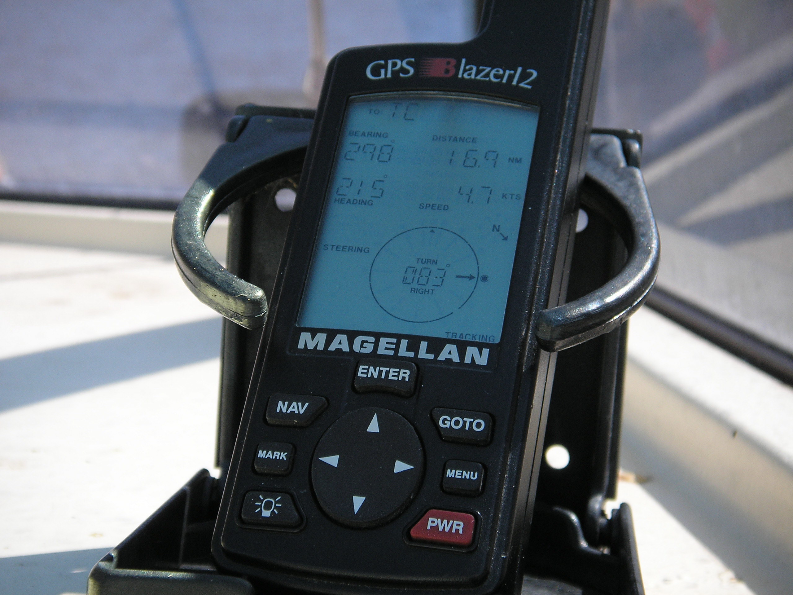 Magellan Blazer12 GPS Receiver.
 Satellite navigation. Image shot by uploader.
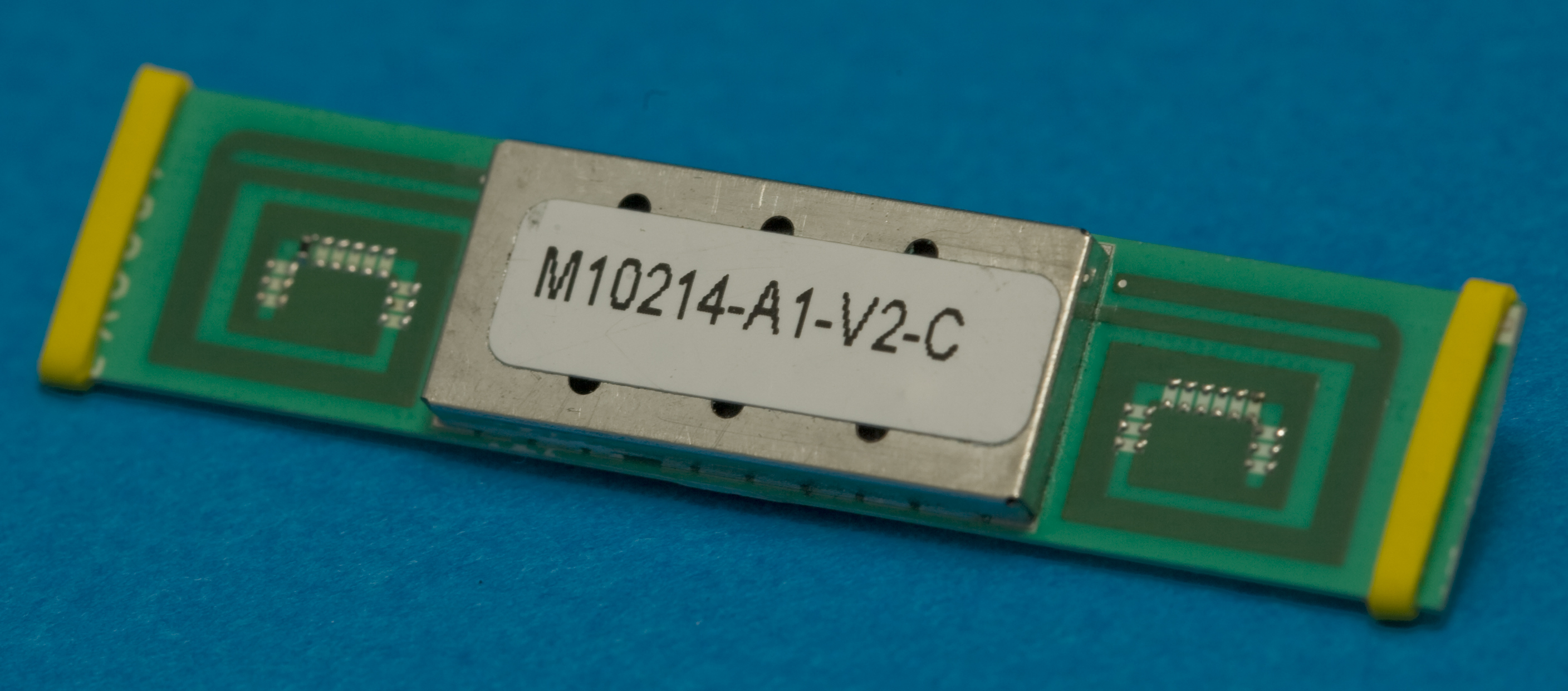 English: SiRF Star III based GPS receiver with int...