By October 1944 the war had changed dramatically and turned against Japan. The United States thought that the air force bombing of Japans island home land would bring them to their knees but the U.S. Army knew that a ground attack was necessary. Once the island of Iwo Jima was captured the next step to Japan main land was the largest of a group of island called the Ryukyu Archipelago. The island was only 340 miles from Taiwan and the Japanese home land town of Kyushu; 900 miles from Leyte, and 1200 miles from the islands of Ulithi and Guam which earlier in 1945 were the three closest U.S. military bases. This meant that the island would be well defended. Measuring sixty-seven miles long and ranging from three to twenty miles wide this was one of the bigger island in the chain and because of its extremely vast kinds of terrain like cliffs and a wave of ridges and a vast maze of caves it made the island a superb defensive position.
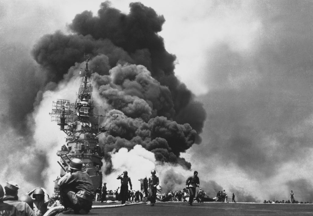 USS Bunker Hill hit by two Kamikazes in 30 seconds...
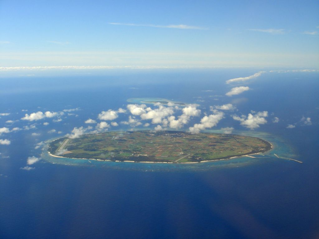 English: Tarama Island (front) and Min'na Island (...
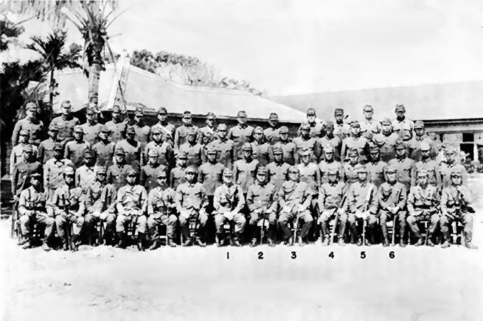 Japanese commanders on Okinawa prior to the Battle...
The island is divided into two parts, separated by the narrow Ishikawa Isthmus, the larger, northeastern part of the island is barren, mountainous and thickly wooded with trees. To the south of the isthmus the terrain is lightly wooded with a lot of thick underbrush. The Southwestern end is rugged and extremely hilly. The island's climate is hot and humid and violent typhoons frequently strike in summer. The principal economic activities are agriculture, fishing, lumbering, food processing, and the manufacture of textiles and pottery. United States military bases and tourism are also important to the economy. In 1945 three fourths of the islands population of 435,000 people lived in and around the south point of the isthmus. This is were their capitol and largest city, Naha is located.