British Empire was one of the greatest empires which had ever existed in the world. There are many reasons why Britain became so powerful.
I think the most important and obvious one is that Britain is an island. Being an island in the time was an advantage, it was already naturally defended. Like in castles, they used to build moats so that they would be surrounded by water. The island could be attacked only be sea, British navy was very strong, plus walls were built and cannons were put in case of a battle.
While Britain was growing and accumulating wealth, other countries were regularly at war. Other countries lost people and spent much more money. Britain's population increased. It became richer and richer and gained more power. It was last invaded in 1066. All the trading was transported by sea. British traveled to different countries invading them, creating colonies.
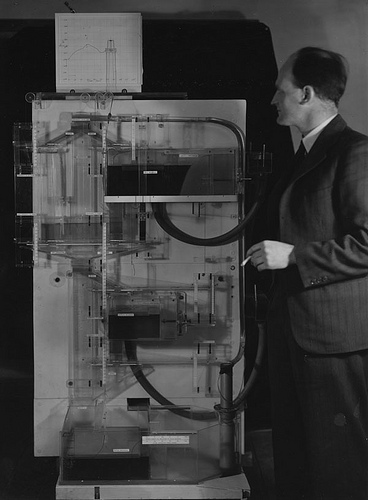 Professor A.W.H (Bill) Phillips with Phillips Mach...
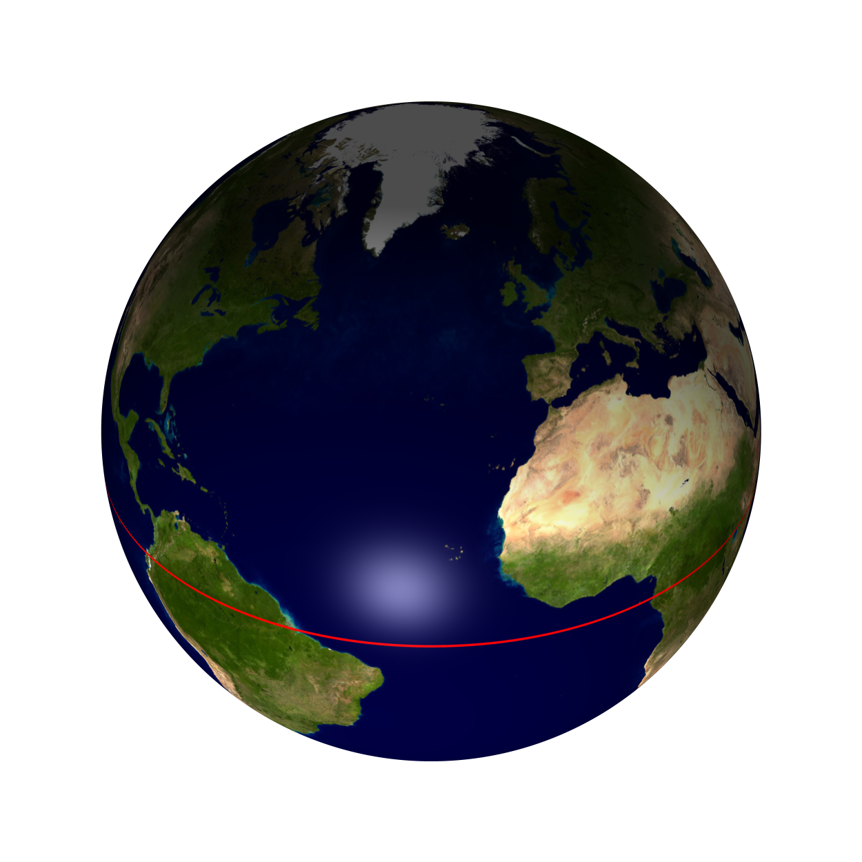 Earth equator northern hemisphere
 English: The equator is an imaginary line that goe...
The colonies at one stage made up thirty percent of the world. Some countries have British flag as a part of their own.
The ordinary map which shows our world on a rectangular piece of paper is actually wrong. There is no way we could totally accurately put our globe on paper.
Greeks are considered to be the founders of Geography. In the second century B.C.E. , Crates created the first globe, representation of the Earth. The Babylonians were first to apply ht four cardial points we know as north, south , east and west.
The are two projections of the world map: Mercrator and Phillip's. Mercrator was name after his inventor, Gerhard kremer, whose name was Latinized to Gerhadus Mercrator. He was a Flemish cartographer (1512-1592) his projection shows the places above the equator bigger. Phillip's is the opposite, places below the equator are shown larger. Globe...