From Saturday 1 January to Saturday 15 January1994, New South Wales experienced its mostdevastating bushfires on record. There had been aprolonged El Niño event àmuch of the coast ofNew South Wales had endured an extended periodof below average rainfall. This had resulted indrought conditions in many areas and a build-upof very dry fuel. There were repeated warningsthat the îre potential was the worst for more than20 years.
Fires flared and receded and entire townswere evacuated ÃÂ some more than once. Morethan 200 fires raged over large areas of coastalNew South Wales, from Tweed Heads in thenorth to Ulladulla in the south, and many ofthese were started by arsonists. Thebushfires were particularly largeand dangerous around Sydney. TheKu-ring-gai and Lane Cove nationalparks were ablaze and severalhomes on Sydney's north shore werelost.
The fires were eventually broughtunder control, but only after amassive firefighting effort. There wereover 10000 firefighters involved,14 000 îre units and water tankers,51 helicopters and five fixed-wing,water-bombing aircraft.
 Kurnell dans le comté de Sutherland, à Sydney
 English: rock carving, Sydney, photo by Sardaka 08...
 English: Panorama of Ulladulla Harbour
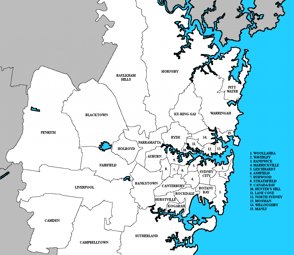
There are some parts of Sydney andnearby areas where fires can spreadquickly due to the landforms. These are thesandstone plateau areas where sandstone rockoverlies shale rock. In dry periods the vegetationon the plateau dries out rapidly making it idealfuel if a bushfire starts in the valleys below. Thenorthward-facing slope and upper valley alsotend to dry out rapidly as they are under theinfluence of northerly winds and more directsolar radiation (see the diagram). Fires canspread very quickly and engulf the plateau area,placing houses at severe risk. Many nationalparks around Sydney are also very vulnerablebecause they have large areas of these landforms,as are suburbs such as Terrey Hills andLane Cove.
DANGER ZONESDistribution of the New South Wales îres, 1994Sandstone plateaus and the spread of bushîresWe will examine one of the 15 days, 7 January1994 àa day described by the Police MinisterTerry Griffiths as `catastrophic' àand analysethe main îre events.
The weather situation was typical of thoseassociated with bushfires. The synoptic chart for7 January 1994 shows strong and gusty west tonorth-westerly winds of up to 50 km/h ahead of aneastward-moving cold front. In Sydney, themaximum temperature was 37.8ðC and the relativehumidity dropped to 8 per cent by 3.00 pm.
From the early afternoon a disastrous series ofevents unfold.
÷ At 1.00 pm a bushfire breaks out in the BlueMountains area to the west of Sydney. This isa typical sandstone plateau area. The îreheads towards the town of Springwood andthreatens many homes.
÷ A fire at Mangrove Mountain, on a sandstoneplateau to the north of Sydney, forces theevacuation of several thousand homes in theGosford area. The îre is believed to be thework of an arsonist.
÷ A state of emergency is declared in the Cessnockarea as a fire, again thought to be the workof an arsonist, forces 200 residents to evacuate.
÷ Several serious fires, many the work of arsonists,threaten property and forests on the south coast.
÷ Firestorms sweep through several northernSydney sandstone plateau suburbs, destroying20 homes.
÷ Many other fires break out during the day andnight, several burning out of control.
The major impacts were economic, environmentaland social.
÷ Economic impacts: 205 homes and 20 otherbuildings destroyed, $167 million cost÷ Environmental impacts: 800 000 hectares burnt,including sections of suburbs and nationalparks; thousands of native animals perished÷ The main social impacts were: 4 deaths, 120people injured and 800 people left homeless.
http://clearlyexplained.com/nature/earth/disasters/bushfires.htmlhttp://www.bom.gov.au/inside/services_policy/fire_ag/bushfire/bushfire.htm
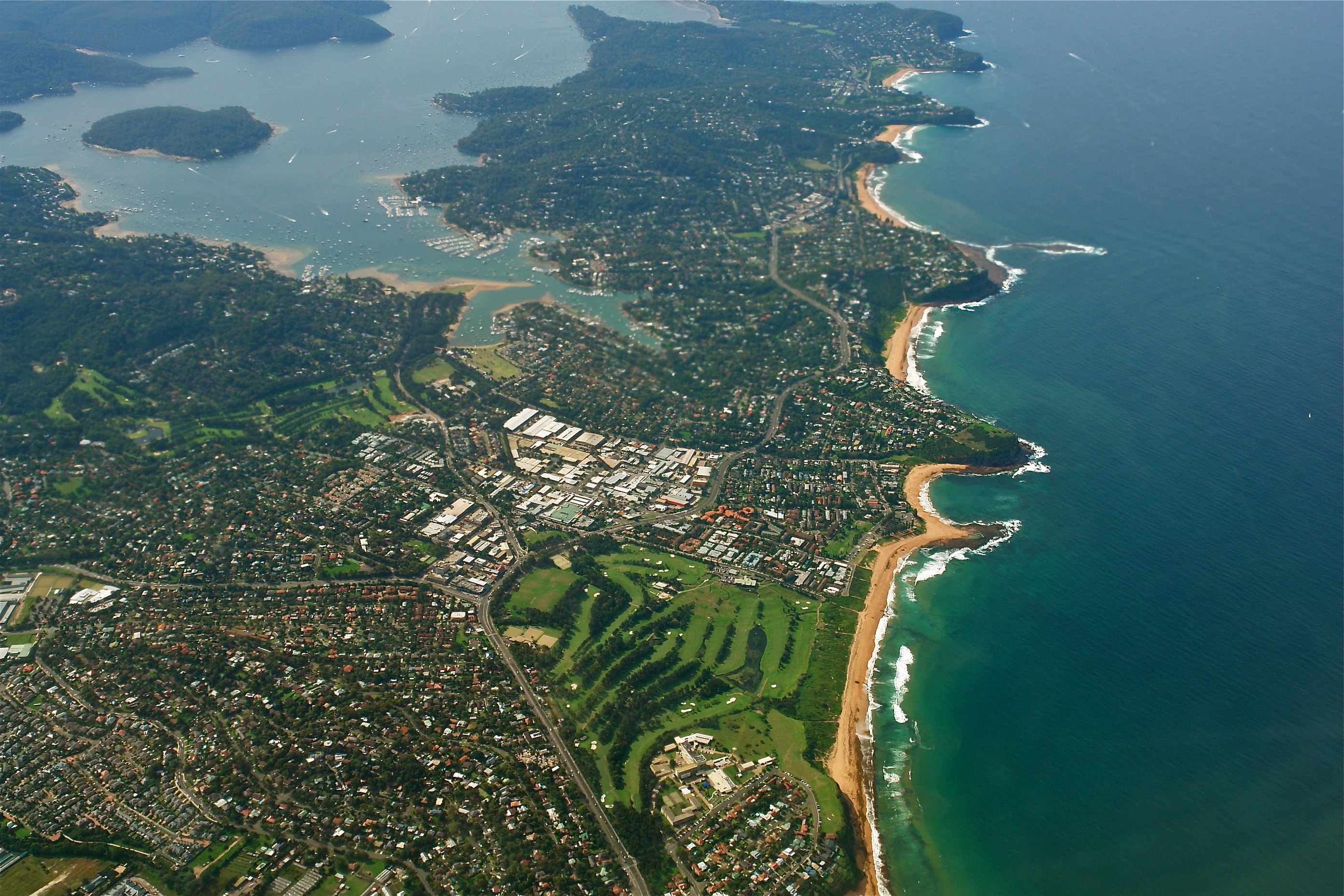 Aerial view of Sydney Northern Beaches
 Looking towards Vaucluse and Dover Heights from th...
 Millennium set M32 at Sydney Central.