I. Context
A. Geography
Japan consists of many mountainous islands with active and inactive volcanoes. About 75 percent of Japan's area is mountainous, and scattered plains cover the other 25 percent. Tokyo is set on the Kanto plain, which is only 13,000 square kilometer. The total land area of Japan is 374,744 square kilometers. Japan has four main islands. The islands include Hokkaido, Honshu, Shikoku, and Kyushu. All of these islands are prone to earthquakes. The highest point of Japan is Mount Fuji, which is 3,776 meters. The nearest point to Asia is Korea. The distance between Japan and the Korean Peninsula is about 200 kilometers. Japan has always been liked to Asia through trade routes. There are also numerous steep, rapid flowing rivers, which provide water for irrigation and power. However most of these rivers aren't navigable. Extensive coastal shipping compensates for the lack of navigable rivers. The pacific coastline south of Tokyo consists of generally long narrow rivers, which has created many natural harbors.
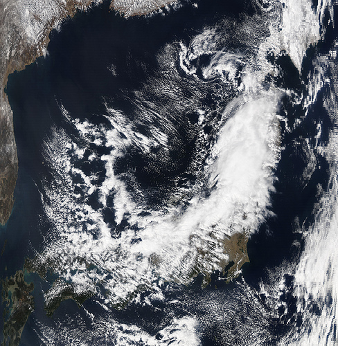 NASA Satellite Image of Japan Captured March 11, 2...
 Japan Fisheries cooperative
 English: The in Tokyo
However the north pacific coastline and the Sea of Japan weren't intended for harbors. Much land has been reclaimed from shorelines and building artificial islands to develop ports. A port was even built for the new Kansai International Airport in Osaka Bay. Hills and even mountains have been raised to provide flat areas for housing.
The climate is generally rainy and humid. Since Japan runs from the north to south the weather is diverse. Climate also varies with altitude and with location on the Pacific Ocean or on the Sea of Japan. There are long cold winters in the north with snow and in the south there are long hot humid summers. The range can be compared to that of the east coast of North America. Five or six typhoons hit Japan every year...
Thanks
just the info i needed about the goverment
1 out of 1 people found this comment useful.