The coast of present-day Cameroon was explored late in the 15th century by the Portuguese, who named the estuary to the south of Cameroon Mountain Rio das Camerões ("river of prawns"). Merchants established trading stations along the coast in the 17th century, buying slaves, ivory, and rubber. Other European groups soon started grouping there, exploring inland and setting up villages
Cameroon sits in the middle of Lake Chad, Nigeria, Central African Republic and The Republic of Congo. The country has a total area of 475,442 sq km (183,569 sq mi) with Yaoundé as the capital, and Douala as the largest city. Cameroon has four distinct geographical regions. In the south is a coastal plain, a region of dense equatorial rain forests. In the center is the Adamawa Plateau, a region with rising peaks reaching about 1,370 m (about 4,500 ft) above sea level. In the far north the savanna slopes into the marshlands around Lake Chad.
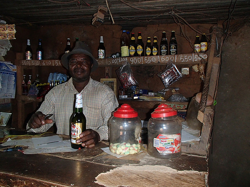 Cameroon bar
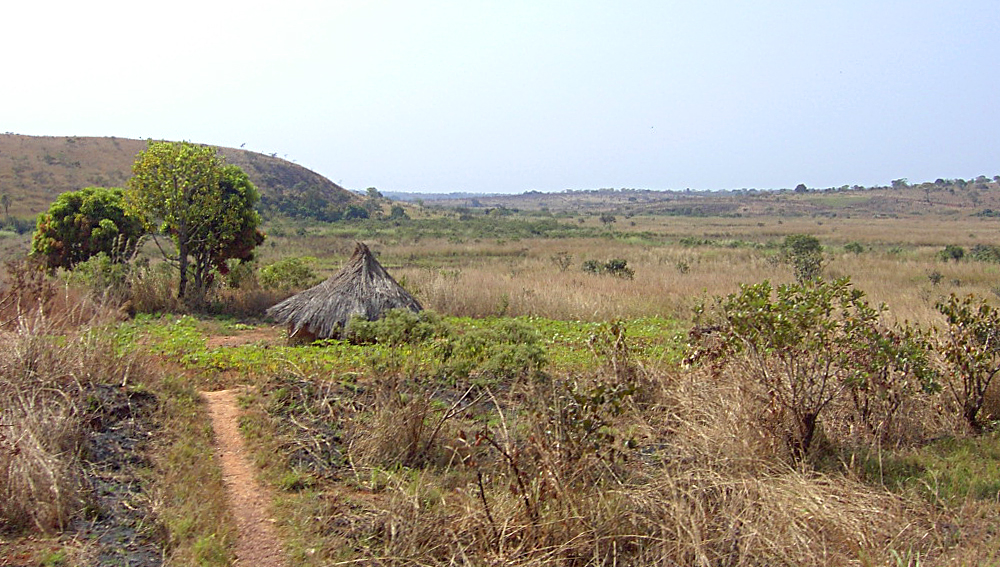 Countryside near Ngaoundal in Cameroon's Adamawa R...
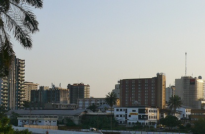 English: Douala, Cameroon.
The west is an area of high, forested mountains and also holds Cameroon Mountain (4,095 m/13,435 ft), the highest peak in western Africa and also an active volcano. This region also holds some of the most fertile soil in the entire country. Cameroon has mostly a tropical climate, because it's very near the equator, being very humid in the south but dry in the northern part of the country.
The economy of Cameroon is primarily based on agricultural demands, however a small amount of gold and natural gas is mined there. The majority of the population are farmers working in small towns or villages. The most dominate crops raised in Cameroon are cacao, coffee, tobacco, cotton, and bananas. Other commercial crops include rubber, palm products, and sugarcane.
In 1998 there were an estimated 15,029,433 people living in the country. It contains about...