PHYSICAL:
Relief: Ethiopia consists mainly of Desert and Mountains. Many valleys and plateau's also can be found in the country. Due to these landform types the percentage of farm land is approximately 5.7% of the total amount of land in Ethiopia. The amount of arable land is 10% of the 5.7% total. Ethiopia has an area of 1 221 900 sq. km. Ethiopia does not receive any problems such as volcanism, tidal waves, etc., but it does receive great winds and monsoons. It is located in Eastern Africa neighboured by Sudan (NW), Kenya(S), and Somalia(SE). Elevations can be seen on figure 1, and the physical features of Ethiopia on figure 2.
Climate: The Climate in Ethiopia is of three different climatic zones. These being the cool or dega zone, consisting of the central parts of the western and eastern sections of the high plateaus and the area around Harar, with terrains roughly above 7 900 ft.
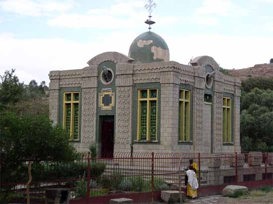 The Chapel of the Tablet at the Church of Our Lady...
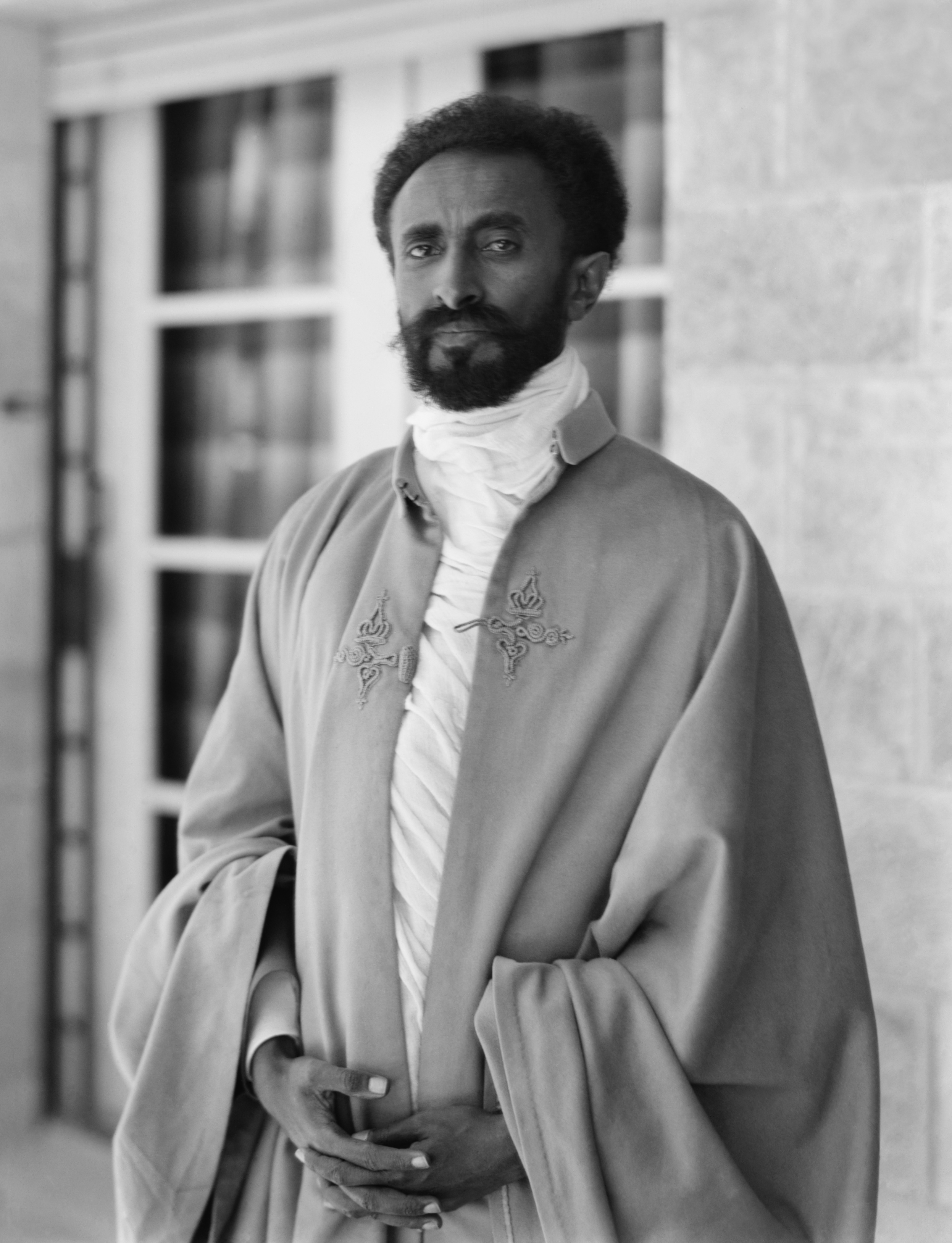 Haile Selassie I of Ethiopia
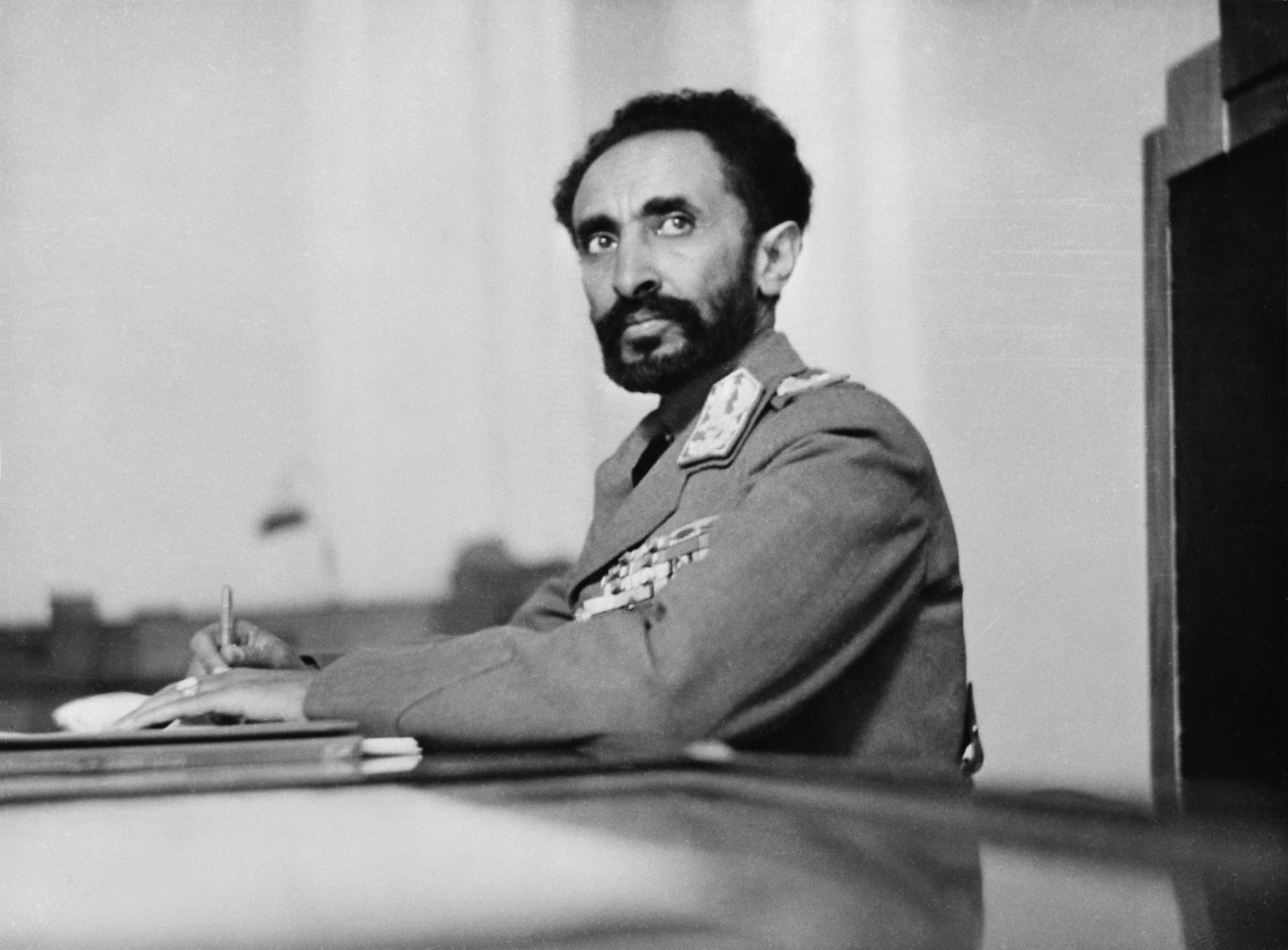 Addis Ababa, Ethiopia. Haile Selassie, Emperor of ...
in elevation. The second zone is the temperate, or weina dega zone, comprising portions of the high plateau between 4 900 and 7 900 ft.. The final area being the hot or kolla zone, encompassing an area with an altitude less than 5 000 ft. The cool zones temperatures and precipitation can be seen on figure 3. The temperate zones temperatures range from 15.6C to 29.4C. The temperature in the hot zone of the lowlands can reach temperatures as high as 60C.
There are two distinct seasons in Ethiopia the rainy season, or kremt, lasting from mid-June to mid-semptember. the other is the Dry season, or bega, lasting from mid-September to mid-June. In April and May there is slight transition period. The greatest amount of precipitation is found in the southwest areas, near gore. They receive approx. 104 in. a year. The littlest amount...