Tanzania is in Eastern Africa, bordering the Indian Ocean, between Kenya and Mozambique . Its total area is 945,090 sq km. 886,040 sq km of that is land and the other 59,050 sq km is water. Tanzania has three islands, Mafia, Pemba, and Zanzibar. The coast of Tanzania is tropical while the highlands are hot.
There are plains along the coast, a central plateau, and high lands in the north and south. The highest point in Tanzania is Mount Kilimanjaro. Tanzania has 10 main natual resoures, hydropower, tin, phosphates, iron ore, coal, diamonds, gemstones, gold, natural gas, nickel. The land is used mostly for forests, woodlands, and pastures. During the rainy seasons there are floods on the central plateau and in the summer there are droughts.
Tanzania's population was estimated to be 31,270,820 in July of 1999. People in Tanzania are only expected to live 46.17 years. On the mainland 99% of the people ae native African, 45% are Christian, 35% Muslim, and 20% indigenous beliefs.
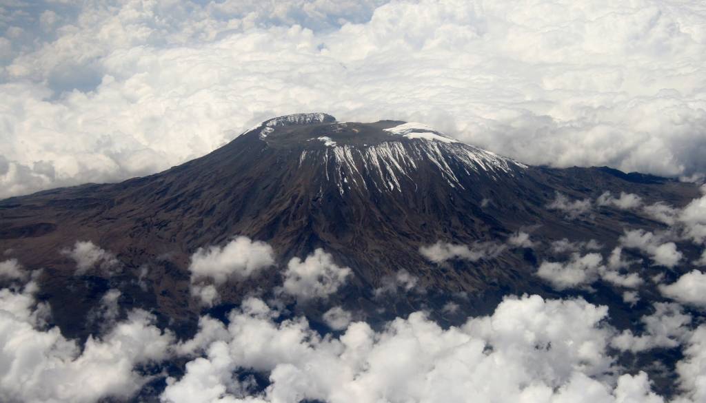 English: Mt Kilimanjaro.
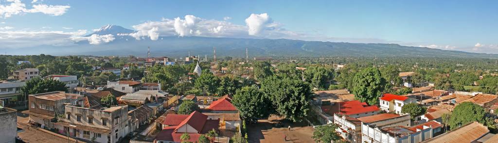 English: A panorama of Moshi town in Tanzania. Mt ...
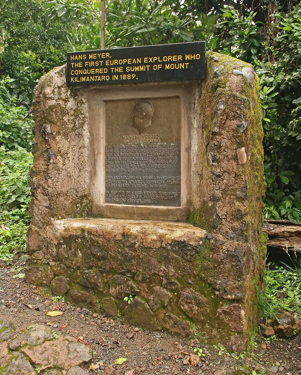 English: A memorial honouring Hans Meyer, the firs...
On Zanzibar island people are of Arab, native African, and mixed Arab and native African ethnic groups. More than 99% of them are Muslim. Tanzainans speak Swahili, English, and Arabic.
Tanzania gained independance on the 26 of April, 1964. The government in Tanzania is Rupublic. The Chama Cha Mapinduzi is the main politicl party of Tanzania. Tanzania has been divided in to 25 administartive divisons, Arusha, Dar esSalaam, Dodoma, Iringa, Kigoma, Kilimanjaro, Lindi, Mara, Mbeya, Morogoro, Mtwara, Mwanza, Pemba North, Pemba South, Pwani, Rukwa, Ruvuma, Shinyanga, Singida, Tabora, Tanga, Zanzibar Central/South, ZanzibaNorth, Zanzibar Urban/West, and Ziwa Magharibi. Tanzania also has a legislative branh called the National Assembly. The presidential elections are run like the ones in the United States, there are 274 seats, 232 votes are elected by popular vote, 37...