Location and History
On April 24, 1996 Canada's seventh largest national park was established. It is called Wapusk National Park (pronounced waa-pusk). Wapusk National Park protects 11,475 km2 of land. It is located at the northern edge of where Manitoba meets Hudson Bay. The aboriginal inhabitants of the region today are Inuit, Dene and Cree, the three nations who were trading together at this gathering place long before the white man discovered the riches of the new world.
Ecozone Components
The Wapusk National Park is located in the Hudson Plains ecozone. This national park is marked by short cool summers and very long cold winters. The mean annual temperature is approximately -4ðC but usually ranging from -19ðC to 10.5ðC. The park is considered a cold desert, receiving only 12 inches of precipitation annually.
The area of the national park is cover with tundra and boreal forests. Along the coast and in the northern part of the national park, a treeless tundra of low arctic vegation such as willows, dwarf birch trees and cotton grass dominates, gradually giving way inland to an open woodland of vegetation characterized by many black spruce and tamarack trees, moss and along the rivers a lot of white spruce woodland.
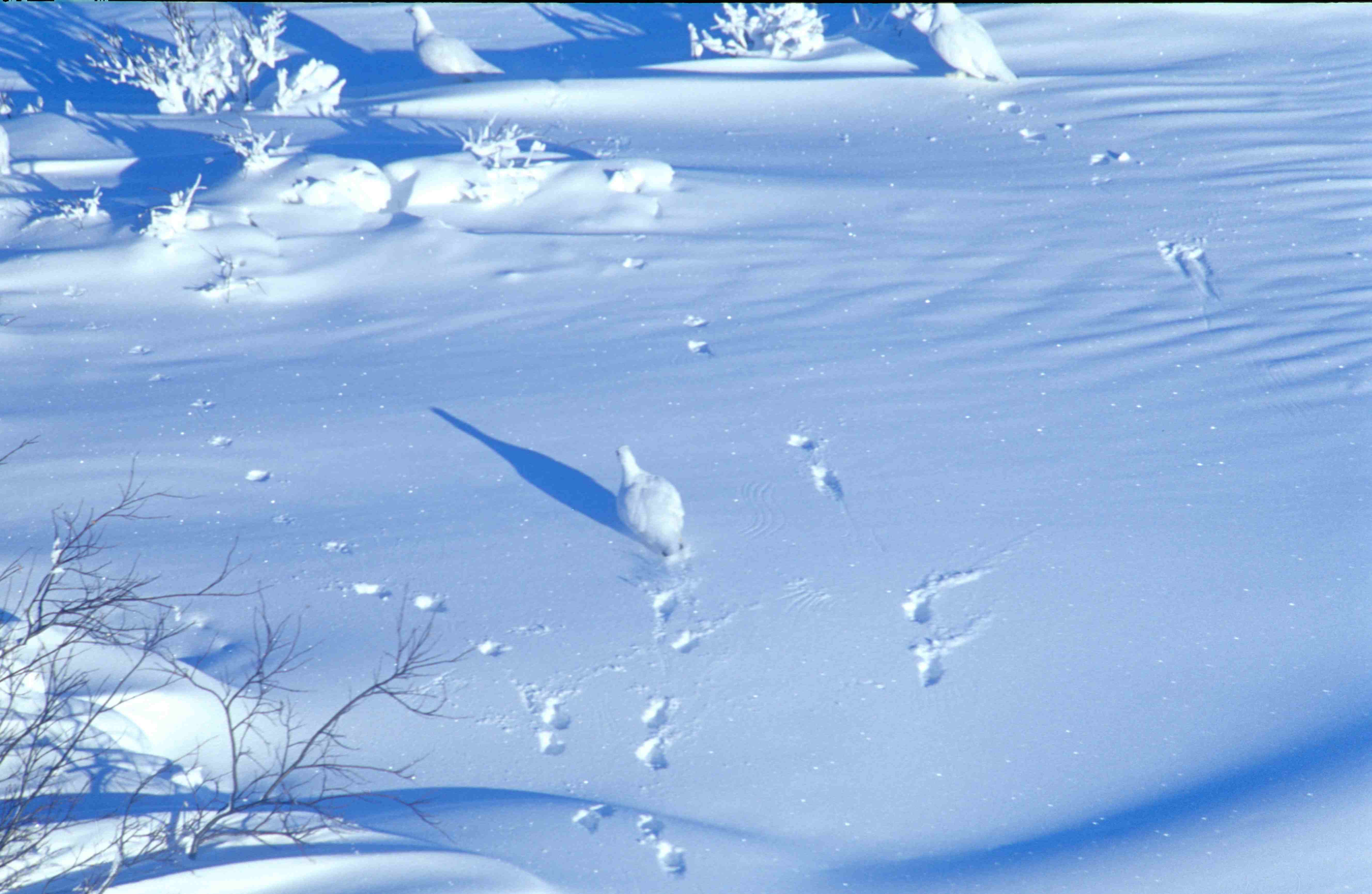 Willow ptarmigan (Wapusk National Park, Manitoba, ...
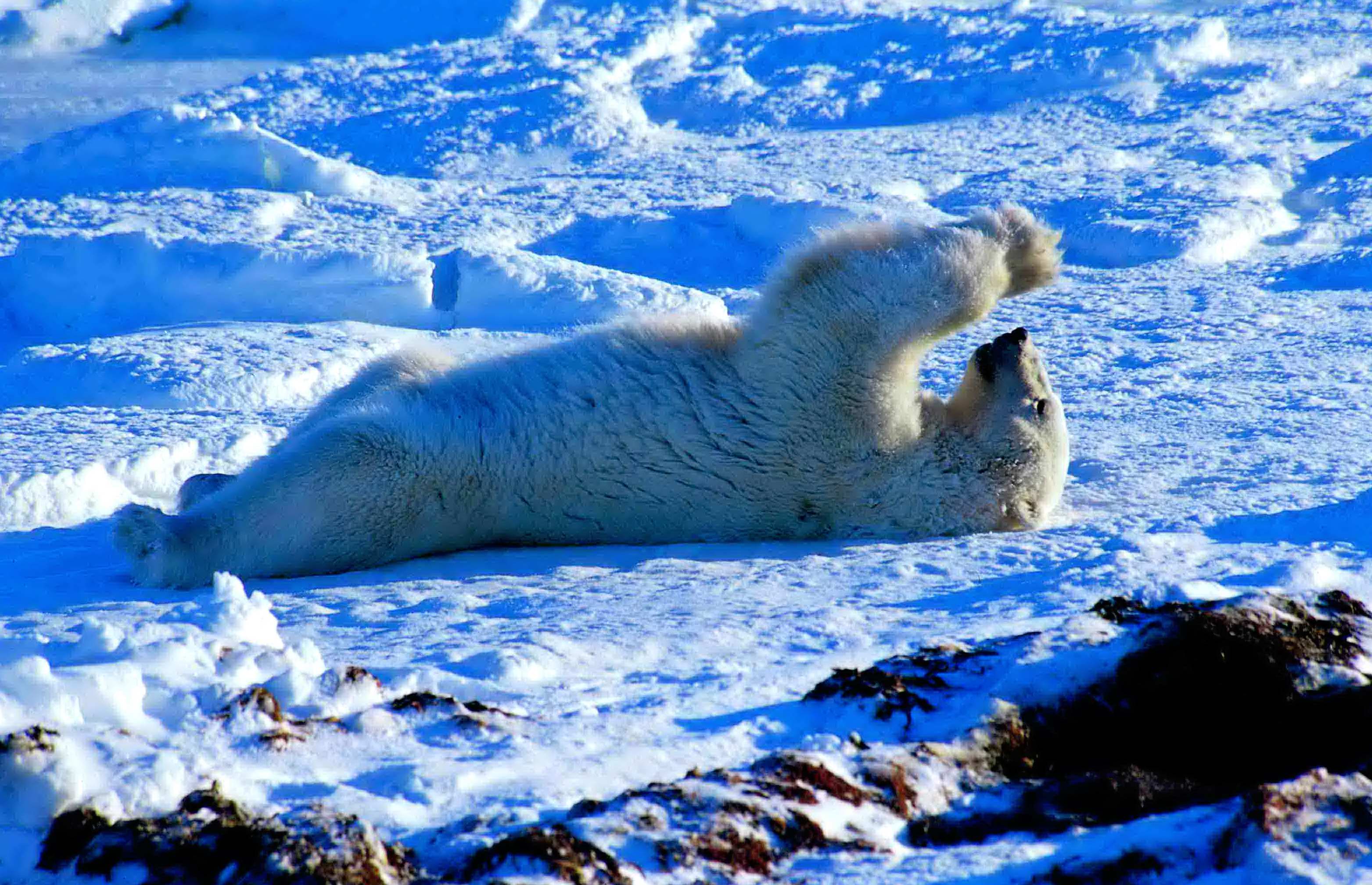 Playful polar bear (Wapusk National Park, Manitoba...
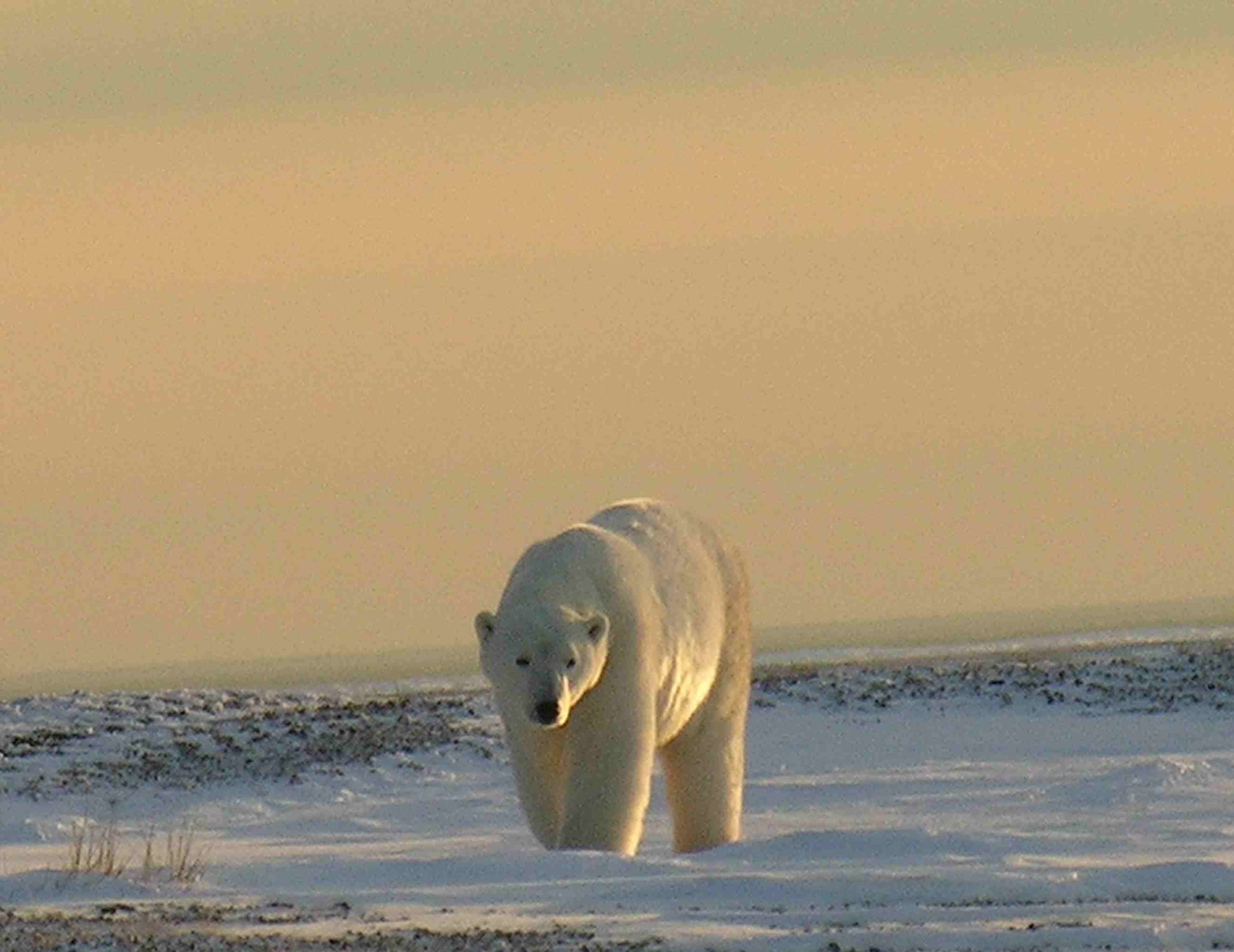 Approaching polar bear (Wapusk National Park, Mani...
Wetlands occupy a lot of the national park with water lying everywhere covering half of the land's surface with lakes, bogs, fens, streams and rivers. The land is a young landscape where the water has been slowly rising since the retreat of the last continental glaciers about 9000 years ago continues to experience rising water levels of about 1 metre per century. The soil consists of permafrost. The permafrost, or frozen portion of the tundra, begins about two feet down. It is ground that has been frozen for at least two years, supporting an...