Table of Figures | PAGE NO. |
Figure 1- Map of South East Queensland | Page 3 |
Figure 2- Map of the Darling Downs | Page 3 |
Figure 3- Map of The Surat Basin | Page 4 |
Figure 4- Agricultural Value per region in QLD | Page 7 |
Figure 5- Land used for agricultural production | Page 7 |
Figure 6-Value of principal agricultural commodities produced | Page 8 |
Figure 7- Number of farms, by industry classification | Page 8 |
Figure 8- Map of Queensland's Coal Seam Gas | Page 9 |
Figure 9- Graph of Queensland's Coal Seam Gas reserves | Page 9 |
Figure 10- Natural CSG statistics | Page 10 |
Figure 11- Comparison of emissions from electricity generation | Page 10 |
1.0 Introduction
1.1 Location
The South East Queensland (SEQ) region is located in the far south-eastern corner of the Australian state of Queensland. (Refer to Figure1) The co-ordinates for SEQ are 27.0000ÃÂS, 152.0000ÃÂE. The region covers 22,520km2 which spans 240km north to Noosa (Sunshine Coast) and south to the New South Wales (NSW) border (past the Gold Coast) and 140km west to Toowoomba (lockyer Valley).
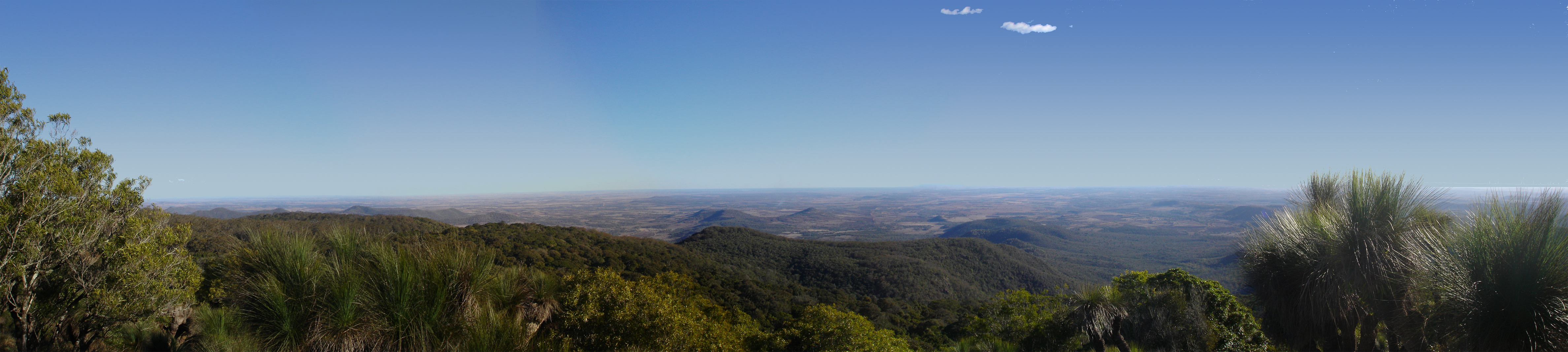 Panorama of the Darling Downs, looking South-West ...
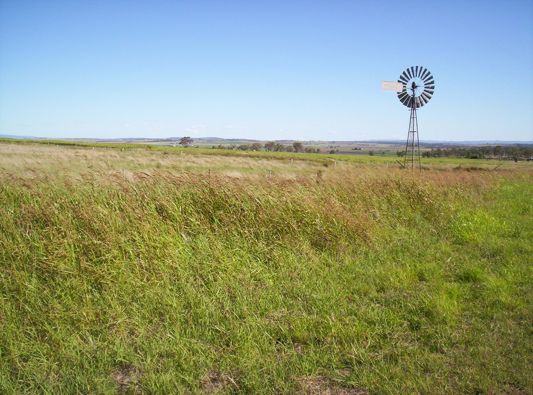 A windmill near Allora, on the Darling Downs, Quee...
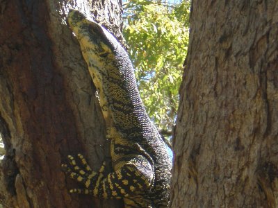 A goanna in Toowoomba, Darling Downs, Queensland
SEQ has a total population of 3.05 million people and is the location for Queensland's capital city, Brisbane.
The field trip focused on the Surat Basin and Darling Downs region (Refer to Figure 2) within SEQ. The Darling Downs is an extensive farming area with highly fertile soils on the western slopes of the Great Dividing Range, at just over 100km west of Brisbane and bordering NSW. The region covers 77,389km2 of southern Queensland and includes many towns such as Toowoomba, Dably, Warrick and Miles. The Darling Downs also covers a geological basin called the Surat Basin which is a part of a much larger Australian basin called The Great Artesian Basin (Refer to Figure 3). The Surat Basin cover an area of 270,000km2 which covers...