The Ural Mountains are a rugged spine across Russia, running 1,300 miles from the fringe of the Arctic in the North, to the bend of the Ural River in the South. Traditionally they form a boundary between Europe and Asia. The north-south course of the Urals is relatively narrow, varying from about 20 to 90 miles in width, but it cuts across the vast latitude landscape regions of the Eurasian landmass, from Arctic waste to semidesert; the Urals also are part of the Ural economic region, a highly developed industrial complex closely tied to the mineral-rich Siberian region, and are the home of people with roots reaching deep into history.
Physical Features
The Urals divide into five sections. The northernmost Polar Urals extend some 240 miles from Mount Konstantinov Kamen in the north-east to the Khulga River the southeast; most mountains rise to 3300-3600 feet above sea level, although the highest peak, Mount Payer reaches 4829 ft.
 English: Yamantu Mountain in Ural Mountains, Bashk...
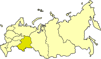 Ural economic region on the map of Russia
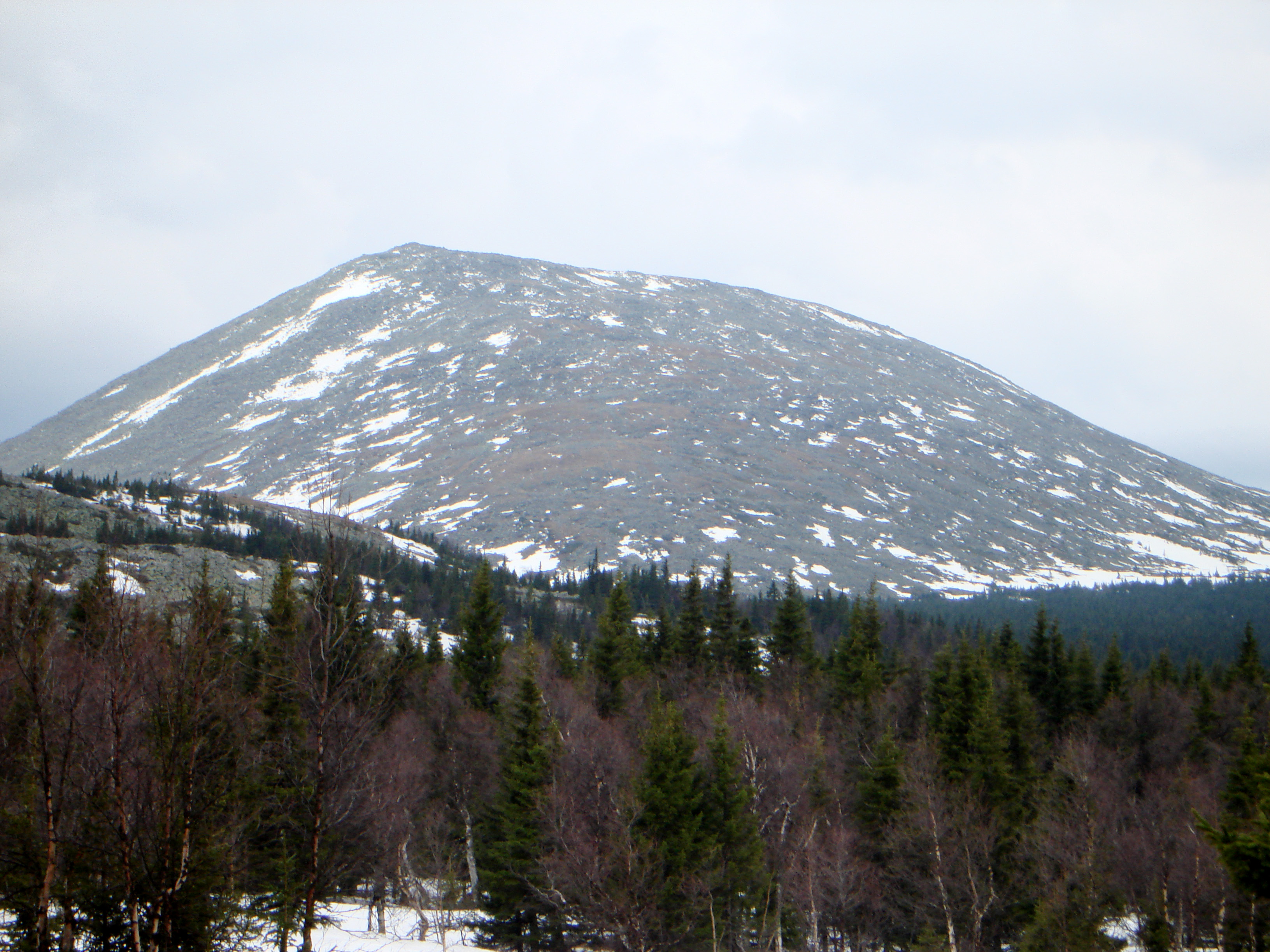 English: Mount B.Iremel Русский: Гора �...
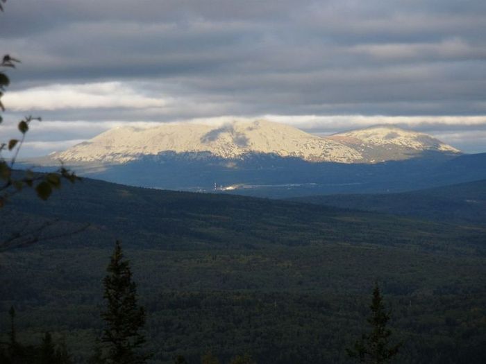
The next stretch, the Nether-Polar Urals, extends for more than 140 miles south to the Shchugor River. This section contains the highest peaks of the entire range, including Mount Narodnaya which reaches 6217 ft. and Mount Karpinsk Which is 6161 ft.
These first two sections are typically Alpine and are Strewn with Glaciers and are heavily marked with permafrost. Farther south come the Northern Urals, which stretch for more than 340 miles to the Usa River in the south; most mountains top 3300 feet, and the highest peak, Mount Telpos-Iz, rises 5305 ft. Many of the summits are flattened, the remnants of the ancient Peneplains uplifted by geographically tectonic movements. In the north, intensive weathering has resulted in vast 'seas of stone' on mountain slopes and summits. The lower Central Urals extend more than 200 miles to the Ufa river, rarely exceeding 1600...