Ancient China was an isolated land because of the numerous mountains, dangerous deserts, and vast seas. In fact, thousands of years passed before overland and sea routes to the West gradually connected China to Central Asia, India, and Europe. The Pacific Ocean to the east of China also prevented foreigners from reaching China.
The Gobi Desert in ancient China is one of the driest deserts in the world. The Taklamankan Desert, which means "enter and you shall never return", is in the northwest.
China also has some of the highest mountain ranges in the world. One of these mountain ranges is known as the Himalayas. Mountains occupy about forty-three percent of China's land area.
Only about twelve percent of China's land is plains and most of that is in the eastern part of China.
Ancient China had two major river systems that generally flowed in a western to eastern direction:
÷The Huang He which is also known as the Yellow River
÷The Yangtze which is also known as the Chang Jiang
The Huang He river system is about 3,000 miles long.
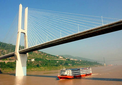 China, Shibangou Bridge underpass, Fuling, Yan...
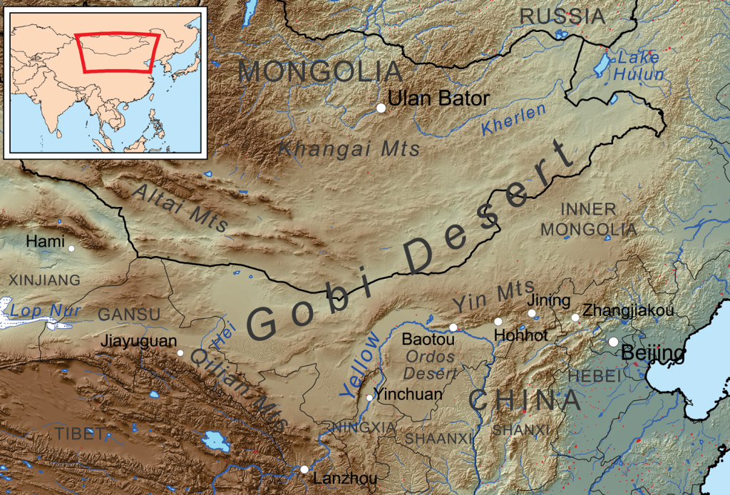 Map showing the Gobi Desert and surrounding area.
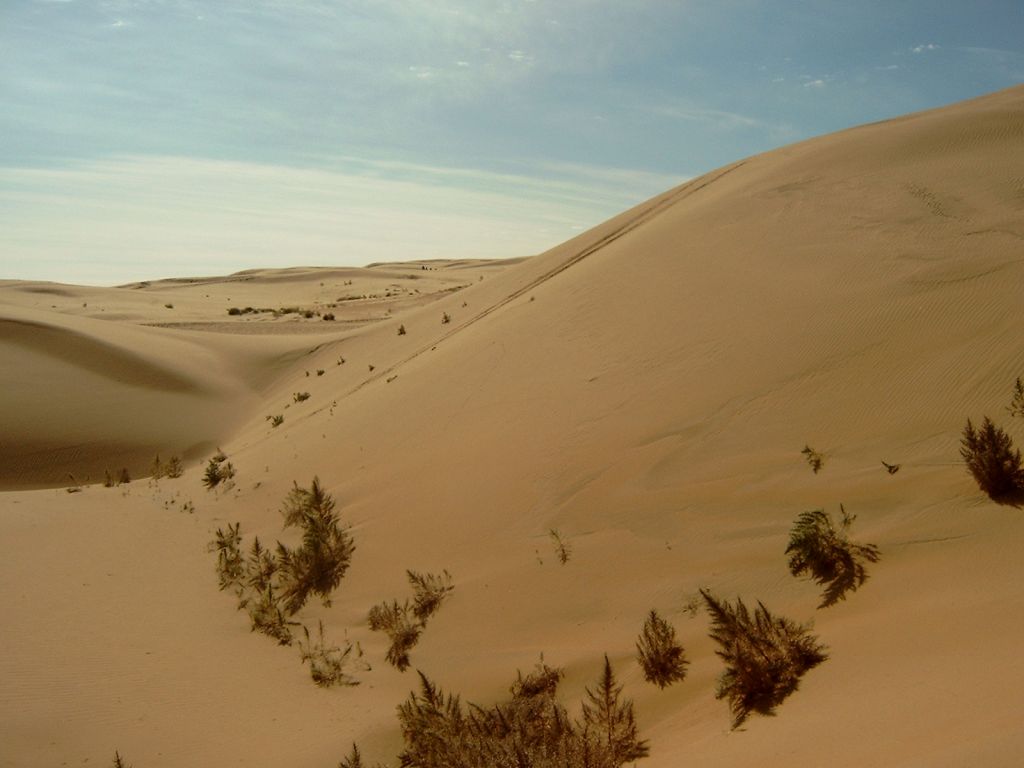 Sand dunes in Inner Mongolia Autonomous Region, Ch...
This is about the distance from California to New York. The river empties into the Yellow Sea. This river system provided fertile soil and farmers were able to grow plenty of food. The civilization of ancient China developed along this river. This river has also caused many heartaches because when it floods the land, it kills many people and destroys crops. Without food to eat, people die.
The Yangtze River is the longest in China, and the third longest river in the world. It is about 3, 964 miles long. It also empties into the Yellow Sea. The river passes through some of China's best farmland and many of its towns and villages. At its lowest point, during the...